What is recorded here
Excavated in 2006 in advance of the N9/N10 Waterford to Knoctopher road scheme (Licence no. E3010). A keyhole-shaped drying kiln (L 9m) consisting of a circular bowl (diam. 3.2m; D 0.61m), a stone-lined flue (L 2m; Wth 1.6m) and a stoke-hole. The stoke-hole (L 3m; Wth 1.6m) intersected an earlier field boundary (KK036-069----). A date of AD 1665-1952 (UBA-13999) was obtained from the lower fill of the kiln. (Channing 2009, 280, no. 1076; Channing 2010)
Compiled by: Mary Tunney
Date of upload: 29 October 2013
The monument record does not grant public access. Check the route and ask the landowner before entering private land.
- What survives
- Recorded monument
Places near here
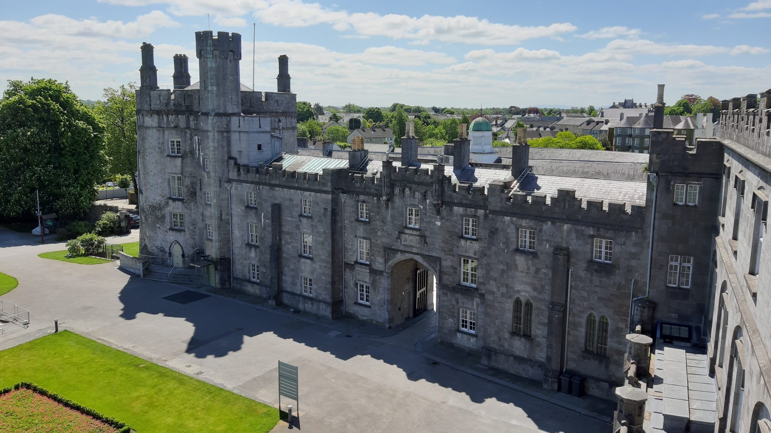 Knocklmoylan CastleCastle · 171 yd
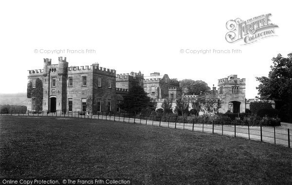 Killeen Ringfort (rath)Archaeological place · 1085 yd
 Knockmoylan Ringfort (rath)Archaeological place · 1134 yd
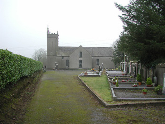 All Saints' Catholic Churchchurch/chapel · 1386 yd
 bridgebridge · 1455 yd
 Crowbally Castle (Site of)Castle, unclassified · 1623 yd
 Thomas PhelanMemorial · 2.6 mi
 Graveyard in KilkeasyGraveyard · 2.6 mi
 Poulanassy WaterfallWaterfall · 3.0 mi
 Corbally WoodForest · 3.6 mi
 Clonassy WoodForest · 3.8 mi
 Castlemorris Pheasant LoopWalking route · 4.9 mi