What is recorded here
Situated in the SE corner of a pasture field, to the immediate W of a townland boundary with Gorteen and c. 15m to N of a stream. A moated site (LI021-017----) including a second corn-drying kiln lies c. 40m to E and a third corn-drying kiln (LI021-180----) lies c. 70m to NE. Not depicted on OS historic mapping. Monument identified as a corn-drying kiln during monitoring (License No. 08E0174) of topsoil stripping along the route of a Limerick County Council water mains upgrade running from Adare to Patrickswell (McKinstry 2011, 4). Monument excavated under the same license in 1999 and described as a keyhole-shaped kiln (L 7.1m NE-SW; min. Wth 0.8m-2.6m NW-SE; max. D 0.7m) consisting of a bowl at the NE end, a hearth at the SW end and a narrow flue linking the two components (ibid, 11). The sides of the kiln were stone-lined and its four fills contained shell fragments, charcoal, gravel and stone. Post-excavation analysis identified oat and hulled barley from one of the fills (ibid, 13). A radiocarbon date (cal. AD 1215-1285) of the fill dates the kiln to the medieval period (ibid). A second kiln was located on the opposite side of the field boundary to E, just outside the ditch of a moated site (LI021-017----) and has been recorded along with that monument. A metalled surface (7m x 3m; T 0.01-0.05m) of small stones and pebbles was located to the N of the kilns (ibid, 11).
See attached location map of excavated site taken from McKinstry 2011
Compiled by: Alison McQueen and Vera Rahilly
Date of upload: 10 August 2020
The monument record does not grant public access. Check the route and ask the landowner before entering private land.
- What survives
- Recorded monument
Places near here
 KilnKiln, corn-drying · 78 yd
 Partially hachuredChildren's burial ground · 438 yd
 Enclosure in BallycarraneEnclosure · 655 yd
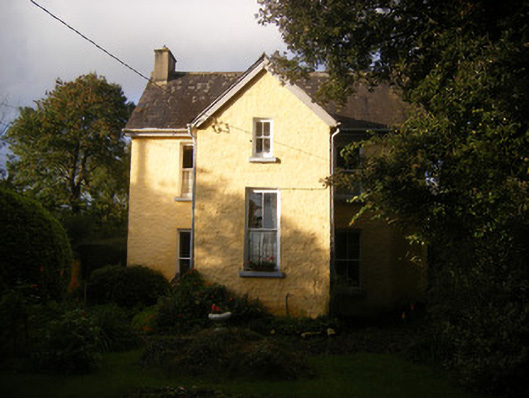 The Villahouse · 916 yd
 European BeechEuropean Beech · 1.9 mi
 Desmonds Castle (in ruins)Castle, Anglo-Norman masonry castle · 1.9 mi
 Adare Desmond CastleMedieval castle · 1.9 mi
 Desmond CastleHeritage attraction · 1.9 mi
 Lebanon CedarLebanon Cedar · 1.9 mi
 CastleCastle, tower house · 2.1 mi
 Biodiversity in the Maigue CatchmentVisitor information · 4.2 mi
 Villiers WellSpring · 4.4 mi