What is recorded here
Located towards the bottom of the SE-facing slope of a drumlin. Excavated in 1964 by A. B. Ó Ríordáin of the National Museum of Ireland, it consisted of a stone-lined pit (diam. of top 2.3m; diam. of base 1.15m; D 1.5m) with a stone floor and a flue (Wth 0..28m; H 0.3m; L 2m plus) at floor level on the E side. The monument is now back-filled. (NMI file)
The above description is derived from 'The Archaeological Inventory of County Leitrim' compiled by Michael J. Moore (Dublin: Stationery Office, 2003). In certain instances the entries have been revised and updated in the light of recent research.
Compiled by: Michael Moore
Date of upload: 23 September 2008
Date of upload: 9 December 2019
The monument record does not grant public access. Check the route and ask the landowner before entering private land.
- What survives
- Recorded monument
Places near here
 Church in Cloone (mohill By.)Church · 2.0 mi
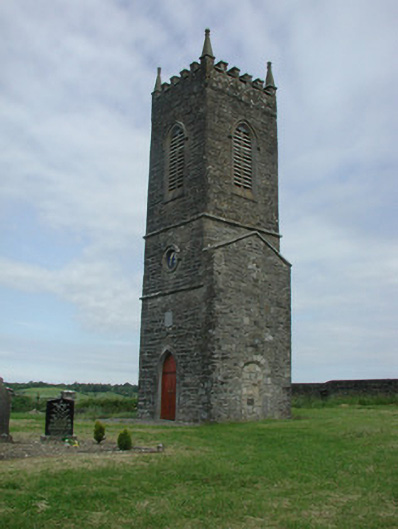 Saint James's Church (Cloone)church/chapel · 2.1 mi
 Holy well in KillyfeaHoly well · 2.1 mi
 Giant's GraveArchaeological place · 2.1 mi
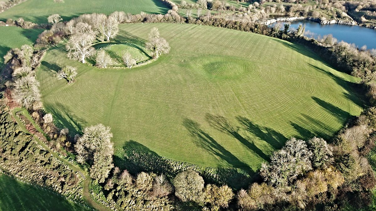 Fairy fort / earthen ringfort in Aghalough (carrigallen By., Aghavas Ed)Fairy fort / earthen ringfort · 2.3 mi
 Sessile OakSessile Oak · 2.6 mi
 North Midland Transport CollectionMuseum · 3.2 mi
 European YewEuropean Yew · 3.8 mi
 CornaferstMountain / peak · 4.3 mi
 King's GraveArchaeological place · 4.3 mi
 DrumbreanlisMountain / peak · 4.5 mi
 Little IslandIslet · 5.7 mi