What is recorded here
A single cereal-drying kiln was just outside the NE side of Plot 1. It is an oval (dims 2.12m x 1.84m; D 0.14m) pit with a fire-reddened base and had four fills that were rich in charcoal. Food grains dominated by oats were present, but a sample of charred oat grain from its base provided a C14 date of 1650-1950 cal. AD (Beta 247105) and is probably a genuine post-medieval date. This is one of the last activities in the area although its location indicates that the plots were still in use. (Martin 2009, 29)
See the attached site plan from Martin (2009, fig. 10)
Compiled by: Michael Moore
Date of upload: 12 April 2023
Fairburn, N. 2004 M3 Clonee-North of Kells. Contract 3 – Navan Bypass. Report on Archaeological Assessment at Testing Area 7, Boyerstown, County Meath. Licence: 04E0580. Unpublished report, Archaeological Consultancy Services
Martin, K. 2009 M3 Clonee-North of Kells. Contract 3 – Navan Bypass. Report on the Archaeological Excavation of Boyerstown 1, Co. Meath. Licence: E003105. Final Unpublished report, Archaeological Consultancy Services
The monument record does not grant public access. Check the route and ask the landowner before entering private land.
- What survives
- Recorded monument
Places near here
 Enclosure in BoyerstownEnclosure · 459 yd
 Field boundary in ArdbraccanField boundary · 995 yd
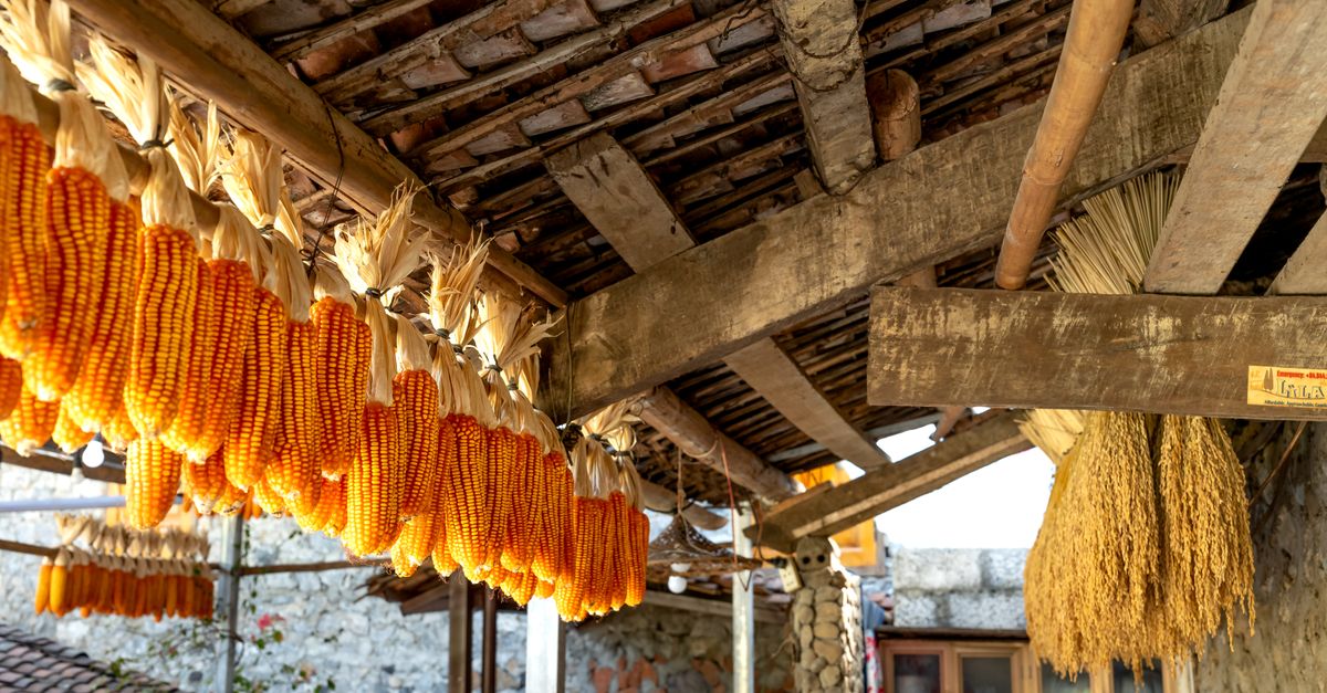 KilnKiln, corn-drying · 1576 yd
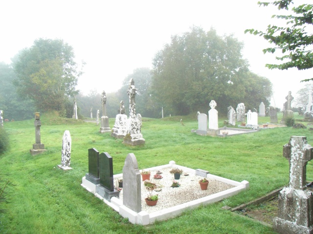 Church (in Ruins)Church · 1.5 mi
 BohermeenMountain / peak · 1.8 mi
 DurhamstownMountain / peak · 1.8 mi
 The New Line RoadMemorial · 2.0 mi
 Nangle CourtMemorial · 2.6 mi
 Wych ElmWych Elm · 3.1 mi
 Fox CovertWood · 3.5 mi
 Assey CastleCastle, tower house · 3.6 mi
 Donaghmore Round TowerHeritage attraction · 3.8 mi