What is recorded here
Monitoring of groundworks along the Ballynacarriga access road section of the N25 Youghal Bypass in 2001 uncovered a large oval area of oxidisation (4.1m N-S x 2m E-W) which was interpreted by the excavator (Noonan 2003f, 30) as a poorly preserved corn-drying kiln. A linear flue-like cut was located almost centrally in the area of oxidisation. The flue contained mixed fills of moderately charcoal-flecked and stony silty clay. A number of post-holes bounded the oxidised area and, according to Noonan (ibid.), may have been part of a timber-supported superstructure to the kiln. A carbon sample from the fill of the flue produced a 2 sigma calibration date of cal. AD 650-890 (cal. BP 1300-1060). (Noonan 2003f, 30)
The above description is derived from 'The Archaeological Inventory of County Cork. Volume 5' (Dublin: Stationery Office, 2009).
Date of upload: 22 December 2009
The monument record does not grant public access. Check the route and ask the landowner before entering private land.
- What survives
- Recorded monument
Places near here
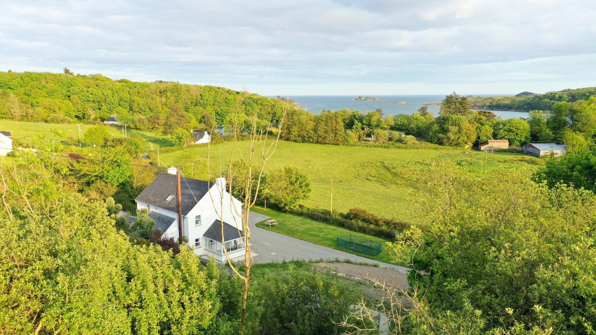 Enclosure in Ballynacarriga (imokilly By., Youghal Par.)Enclosure · 64 yd
 KilnKiln, corn-drying · 79 yd
 Heathfield TowersCountry house · 444 yd
 Youghal Foxhole Loop walkWalking route · 1.1 mi
 Collegiate Church of Saint MaryHeritage attraction · 1.3 mi
 European YewEuropean Yew · 1.3 mi
 English hollyEnglish holly · 1.3 mi
 Town WallHeritage attraction · 1.3 mi
 G YdGraveyard · 1.3 mi
 Our Lady's CollegeMemorial · 1.4 mi
 Emmet PlaceMemorial · 1.5 mi
 Priory Court Car ParkVisitor information · 1.5 mi