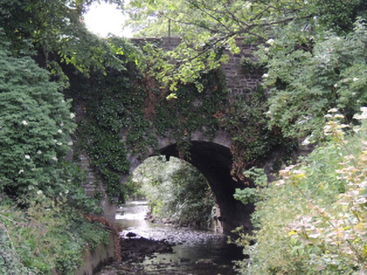
What is recorded here
Single-span limestone bridge, built c.1770, carrying South Circular Road over Camac River. Dressed limestone walls to east and west elevations, dressed limestone parapet walls with granite coping. Round arch with cut limestone voussoirs. Dressed limestone to soffit.
This eighteenth-century bridge was constructed to carry South Circular Road over the River Camac, and is shown on Rocque’s map of Dublin city and environs of 1773. The bridge is named on the first edition Ordnance Survey map of 1837 as Kilmainham Bridge. The North and South Circular Roads circumnavigated the city to improve access, and construction on South Circular Road continued into the 1890s. Kilmainham Bridge was constructed of unrefined locally-sourced limestone, and the granite coping adds a textural variation to this simple, yet well-constructed bridge.
This does not grant access. Most recorded buildings are privately owned; view them only from public ground unless the owner allows entry.
Places near here
 Water millWater mill, unclassified · 101 yd
 Kilmainham Courthousecourt house · 111 yd
 Kilmainham Jail MuseumMuseum · 157 yd
 JailPrison · 165 yd
 Executions of the leaders of the 1916 risingMemorial · 214 yd
 Ancient MonumentCross · 214 yd
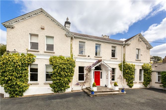 Chapelizod BypassMemorial · 319 yd
 Toni'sPicnic place · 472 yd
 Royal Hospital KilmainhamHeritage attraction · 480 yd
 Gairdín Foirmiúil Ospidéal Ríoga Chill MhaighneannVisitor information · 630 yd
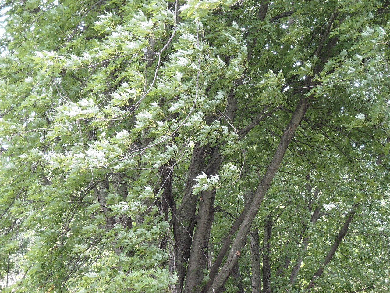 Silver mapleSilver maple · 1300 yd
 Horse-chestnutHorse-chestnut · 1438 yd
Other information
Photo: National Inventory of Architectural Heritage · Website use allowed for educational or private purposes with source credit