
What is recorded here
The Down Survey (1655-6) maps show two double mills and a single mill at Kilmainham. These are marked on a 17th century map of the City and Surburbs of Dublin (Bernard de Gomme 1673). Later mill buildings occupy the site (Simington 1945, 292).
Compiled by Geraldine Stout
Date of Upload 17 November 2017
The monument record does not grant public access. Check the route and ask the landowner before entering private land.
- What survives
- Recorded monument
Places near here
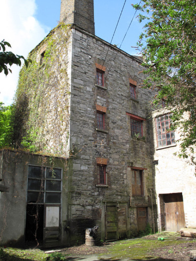 Kilmainham Millmill (water) · 12 yd
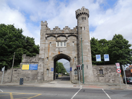 Irish Museum of Modern Artgate lodge · 94 yd
 Ancient MonumentCross · 121 yd
 Kilmainham Jail MuseumMuseum · 192 yd
 JailPrison · 217 yd
 Executions of the leaders of the 1916 risingMemorial · 253 yd
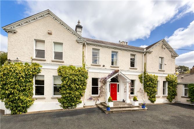 Chapelizod BypassMemorial · 278 yd
 Royal Hospital KilmainhamHeritage attraction · 379 yd
 Gairdín Foirmiúil Ospidéal Ríoga Chill MhaighneannVisitor information · 531 yd
 Toni'sPicnic place · 558 yd
 Magazine FortCastle · 1110 yd
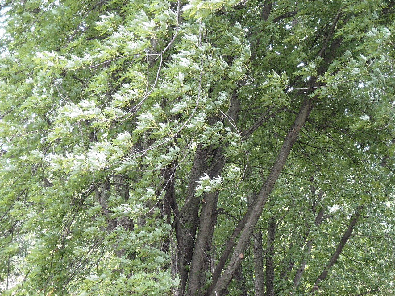 Silver mapleSilver maple · 1211 yd
Other information
Photo: Credit not shown in the picture search · Rights wording not checked; contact us if this picture should be removed