
What is recorded here
Killeenleigh Church vanished so completely that only a stone pile at the foot of a tree remains, yet local memory still treats those scattered rocks as the church itself. The 1842 map drew a small rectangle aligned northwest to southeast, giving shape to what the land forgot. Hartnett admitted nothing is known of its history, but the pile suggests people kept returning to mark the place long after walls collapsed.
No visible surface trace of church but pile of stones collected at foot of tree regarded locally as remains of site. Shown as small rectangular structure (long axis NW-SE) on 1842 OS 6-inch map marked 'site of Killeenleigh Church'. According to Hartnett (1939, 193) 'nothing is known as to its history'.
The above description is derived from the published 'Archaeological Inventory of County Cork. Volume 3: Mid Cork' (Dublin: Stationery Office, 1997). In certain instances the entries have been revised and updated in the light of recent research.
Date of upload/revision: 14 January 2009
The monument record does not grant public access. Check the route and ask the landowner before entering private land.
- What survives
- Recorded monument
Places near here
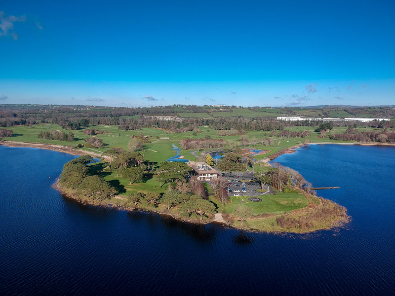 Fulacht fia in KilleenleighFulacht fia · 936 yd
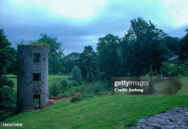 LishahoonFairy fort / earthen ringfort · 1238 yd
 Dripsey Bridge (Lower)Bridge · 1454 yd
 Derry HouseCountry house · 1644 yd
 Saint Bartholomew's WellSpring · 1.3 mi
 Oldcastle WoodWood · 1.3 mi
 New TipperaryVisitor information · 2.6 mi
 Carrignamuck Tower HouseCastle · 2.6 mi
 Ballyvodane Castle (in Ruins)Castle, unclassified · 3.8 mi
 Mullinhassig WoodWood · 3.8 mi
 Mullinhassig WaterfallWaterfall · 3.9 mi
 Coachford Greenway (End)Visitor information · 4.7 mi
Other information
Photo: Credit not shown in the picture search · Rights wording not checked; contact us if this picture should be removed