What is recorded here
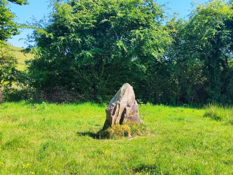
Situated at the SE end of a NW-SE ridge overlooking a river to the E in a mountainous area. An oval-shaped area (18m NW-SE; 8.5m E-W) with low orthostats which probably represent grave-markers protruding from the surface of the ridge.
The above description is derived from 'The Archaeological Inventory of County Tipperary. Vol. 1 - North Tipperary' compiled by Jean Farrelly and Caimin O'Brien (Dublin: Stationery Office, 2002). In certain instances the entries have been revised and updated in the light of recent research.
Date of upload/revision: 22 September 2008
A portal dolmen dating to the Neolithic period; its low orthostats suggest a funerary function and reflect early megalithic burial traditions in the region.
The monument record does not grant public access. Check the route and ask the landowner before entering private land.
- What survives
- Recorded monument
Places near here
 Gowlagh Bridgebridge · 1750 yd
 Commaun Bridgebridge · 1.0 mi
 CairnCairn, burial cairn · 1.2 mi
 Dermot & Granias Bed (Site of)Megalithic structure · 1.3 mi
 Slieve Felim East TopMountain / peak · 2.4 mi
 MauherslieveMountain / peak · 3.0 mi
 Slieve Felim WayWalking route · 4.4 mi
 CastleCastle, unclassified · 6.1 mi
 Sliev Felim WayVisitor information · 7.4 mi
 Bawn in RathBawn · 8.2 mi
 Graveyard in AbingtonGraveyard · 8.6 mi
 Killavalla WoodForest · 11 mi