What is recorded here
Killeenacurry is a children's burial ground on a low Clare knoll, marked by flat slabs and headstones scattered across a small rectangular patch of earth. The place has stood beside improved pasture since at least 1842, holding the quiet tragedy of young lives lost before records or memories could preserve their names.
On top of a low knoll and surrounded by fields of extensively cleared and improved pastureland. Indicated and named ‘Killeenacurry’ on the 1842 and 1915 eds. of the OS 6-inch maps. A subrectangular burial ground (27m E–W; 18.5m N–S) defined by field clearance to the W, a low scarp (H 0.4m) to the S and a modern drystone wall to the N and E. The burials occur throughout the interior and are marked by unworked flat slabs (max. H 0.6m; max. Wth 0.4m; max. T 0.1m) and headstones. There is a concentration of headstones and flat slabs to the SW of centre where they are orientated N–S.
Compiled by: Mary Tunney and Ros Ó Maoldúin
Date of upload: 4 May 2021
A portal dolmen; likely dating to the Neolithic period. Its presence indicates early ritual or burial activity in the region, though its wider significance remains unclear due to limited recorded context.
The monument record does not grant public access. Check the route and ask the landowner before entering private land.
- What survives
- Recorded monument
Places near here
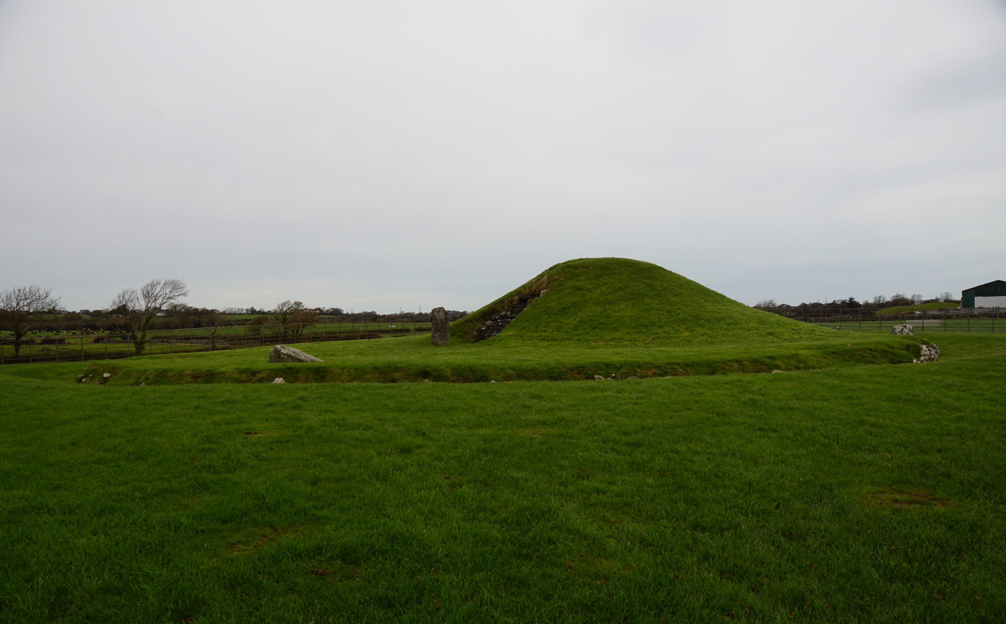 Killeenacurry Childen's Burial GroundArchaeological place · 1 yd
 Turlough CastleArchaeological place · 573 yd
 IndicatedEnclosure · 704 yd
 Castle Mael (in ruins)Castle, unclassified · 1676 yd
 Turlough HillMountain / peak · 1.5 mi
 Oughtmama Church (in ruins)Church · 2.1 mi
 Church (in ruins)Church · 2.2 mi
 Moneen MountainMountain / peak · 2.4 mi
 Aillwee CaveCave · 3.4 mi
 Bird Of Prey CentreHeritage attraction · 3.5 mi
 PoulnabroneMemorial · 3.5 mi
 Gleninshing portal tombHeritage attraction · 4.0 mi