What is recorded here
Killeen Grave Yd. is a buried square in County Laois, still drawn on modern maps though no stone or trench remains visible at the base of a gentle slope. In 1838, an old burying place stood there beside Cavagh’s Well, a name neighbouring inhabitants had almost forgotten. The ground may have swallowed its own markers, leaving only a hidden chamber of dead people and water beneath the grass.
Depicted on first edition of the OS 6-inch map as a large square shaped graveyard indicated on OS 6-inch map as Killeen Grave Yd. No surface remains visible of graveyard located at base of gentle slope. Square shaped graveyard (int. dims. 85m N-S; 91m E-W) enclosed by a stone wall as indicated on current edition of the OS 6-inch map. The OS letters of 1838 record that 'An old burying place lies in Killeen Townland, where there is also a well called 'Cavagh's (Cavan's?) Well', a name not in general known among the neighbouring inhabitants' (O'Flanagan 1933, vol. 1, p. 67).
Compiled by: Caimin O'Brien
Date of upload: 17 December 2007
The monument record does not grant public access. Check the route and ask the landowner before entering private land.
- What survives
- Recorded monument
Places near here
 Enclosure in Knightstown OR BallinridderyEnclosure · 1103 yd
 IndicatedEnclosure · 1498 yd
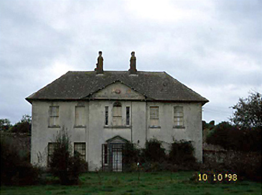 Knightstown Househouse · 1559 yd
 Friary (in Ruins) GraveyardReligious house, unclassified · 1.3 mi
 Church (in Ruins), Grave YardChurch · 1.4 mi
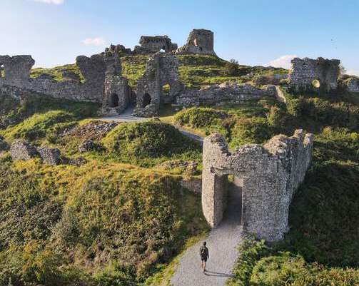 Shaen Castle (in Ruins)Castle, tower house · 1.5 mi
 Coolbanagher Castle (ruins)Castle · 1.8 mi
 Pedunculate OakPedunculate Oak · 2.0 mi
 Giant SequoiaGiant Sequoia · 2.8 mi
 Emo CourtHeritage attraction · 2.8 mi
 Burial Ridge of MaryboroughMemorial · 4.4 mi
 Rock of DunamaseCastle · 4.9 mi