What is recorded here
On a ridge overlooking Knockaffrin Lough to ENE. This CBG, correctly Cill na gCimóg (?), consists of a subrectangular area (N-S c. 16.85m) defined by a low drystone wall (Wth 1.8m, H 1m). The interior is totally overgrown but two small headstone-like uprights are visible at W, incorporated into the surrounding wall. A holy well (GA067-017001-) lies c. 140m to NNW.
The above description is derived from the published 'Archaeological Inventory of County Galway Vol. I - West Galway'. Compiled by Paul Gosling (Dublin: Stationery Office, 1993).
Date of upload: 05 August 2010
The monument record does not grant public access. Check the route and ask the landowner before entering private land.
- What survives
- Recorded monument
Places near here
 AltarPenitential station · 157 yd
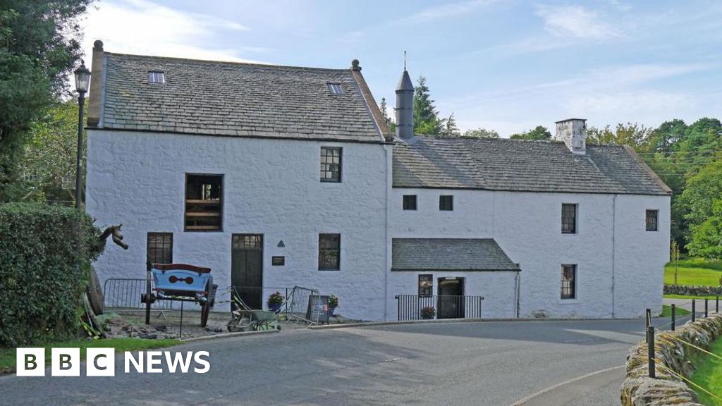 Corn MillMill, corn · 520 yd
 Enclosure in CarrowndullaEnclosure · 550 yd
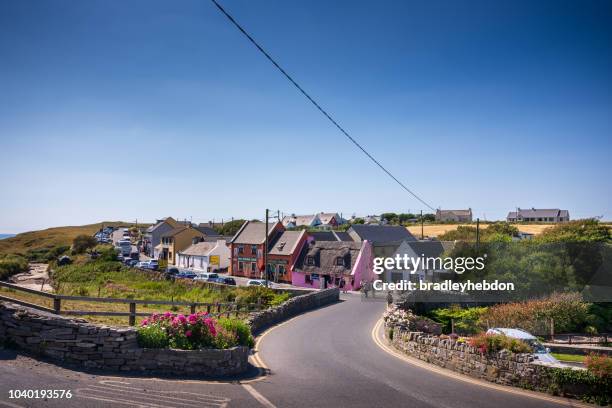 IndicatedEnclosure · 831 yd
 Aughnanure Castle (in ruins)Castle, tower house · 2.1 mi
 Annagh WoodWood · 2.4 mi
 Brigit's GardenHeritage attraction · 2.9 mi
 Oghery Castle in ruinsCastle, unclassified · 3.0 mi
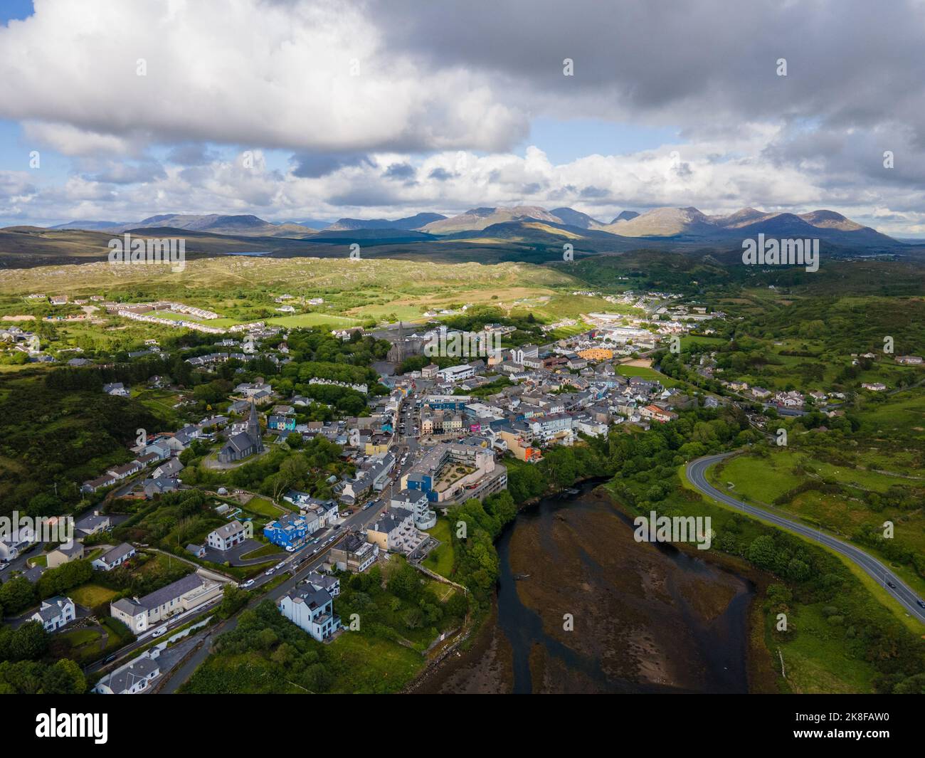 SnahadaunIslet · 3.3 mi
 Owenriff WayWalking route · 3.3 mi
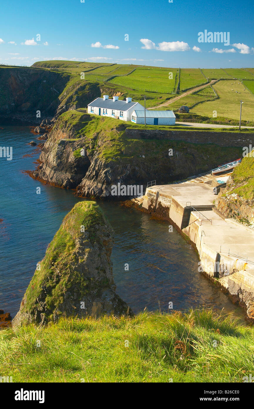 Illaunfadda BegIslet · 3.4 mi
 Cnoc an Bhaile NuaMountain / peak · 3.6 mi