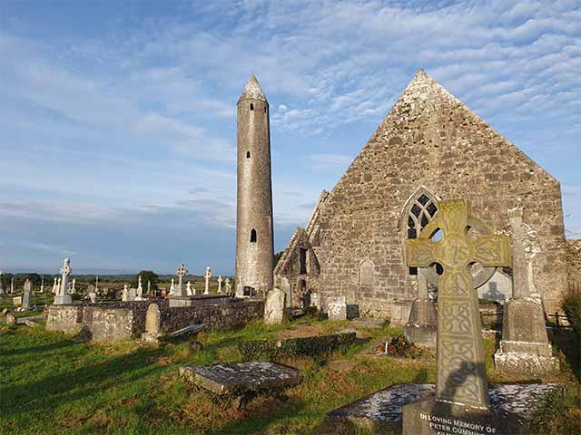
What is recorded here
Killaclogher Castle rose on a natural Galway rise by 1574, belonging to Donell O'Kelley and standing within fields that marked centuries of local life. Its remaining western and northern walls still measure about ten metres long and five point three metres thick, preserving the scale of a at least three-storey tower house. A carved coat-of-arms plaque set into the outer wall suggests the castle later changed hands or received a grander renovation, while the lost entrance and collapsed eastern walls leave its exact daily rhythm behind a veil of grass and silence.
Killaclogher Castle is recorded as a castle in County Galway. Its open map record supplies this location and any linked names or public references.
Killaclogher Castle was built by the O'Flaherty clan in the 15th or 16th century in County Galway. It is remembered as a historic stronghold associated with the Gaelic Irish chieftains of the region.
Places near here
 Enclosure in Ballynaboorkagh,killaclogherEnclosure · 327 yd
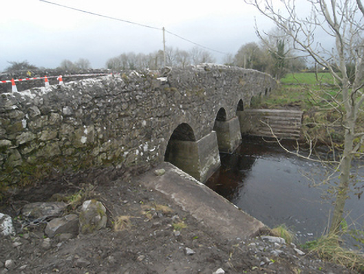 Killaclogher Bridgebridge · 1238 yd
 mill (wind)mill (wind) · 1316 yd
 Monivea CastleCastle · 1736 yd
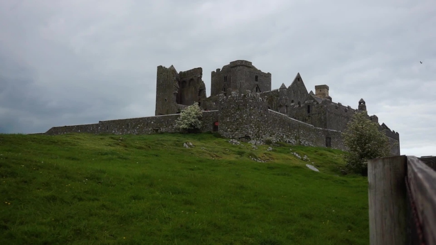 Settlement desertedSettlement deserted, medieval · 1.7 mi
 CashlaundarraghCastle · 1.7 mi
 SycamoreSycamore · 4.1 mi
 Common WhitebeamCommon Whitebeam · 4.2 mi
 Knockmoy AbbeyHeritage attraction · 4.3 mi
 Menlough IRAMemorial · 4.9 mi
 Mass RockNamed rock · 14 mi
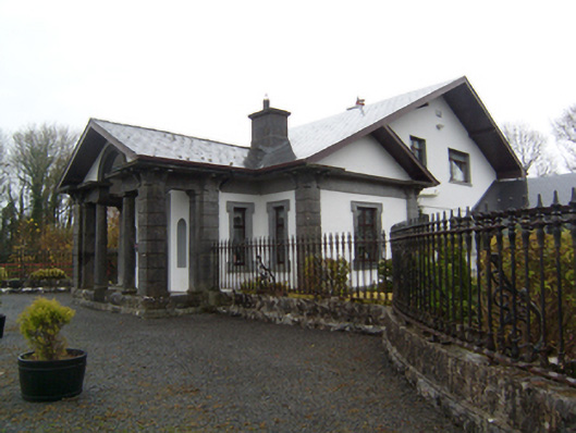 Ryehillgate lodge · 1627 yd
Other information
Photo: Credit not shown in the picture search · Rights wording not checked; contact us if this picture should be removed