
What is recorded here
Kill Burial Ground is an invisible pasture on an east-facing slope where memory replaces marble. Maps named it in 1842 and dismissed it by 1902, yet local tradition still points to buried people beneath the grass. The land keeps what surveying forgot: a graveyard hidden inside ordinary countryside.
In pasture on E-facing slope. Marked 'Kill Grave Yard' on 1842 OS 6-inch map; 'Disused' on 1902 OS 6-inch map. No visible surface trace. Tradition of burial ground still exists.
The above description is derived from the published 'Archaeological Inventory of County Cork. Volume 2: East and South Cork' (Dublin: Stationery Office, 1994). In certain instances the entries have been revised and updated in the light of recent research.
Date of upload/revision: 14 January 2009
The monument record does not grant public access. Check the route and ask the landowner before entering private land.
- What survives
- Recorded monument
Places near here
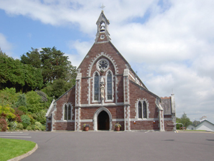 Catholic Church of Sacred HeartChurch · 566 yd
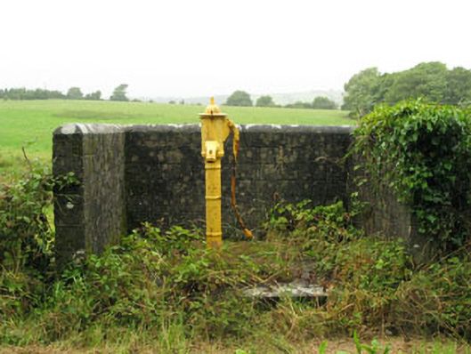 water pumpwater pump · 705 yd
 IndicatedEnclosure · 1035 yd
 Grave YardGraveyard · 1.4 mi
 Sunday's WellSpring · 1.5 mi
 Bi-Centenary of 1798Memorial · 2.8 mi
 Dooneen WoodsWood · 2.9 mi
 Curra WoodForest · 3.0 mi
 Dinny Barry MemorialMemorial · 3.2 mi
 Rumley's Open FarmHeritage attraction · 3.4 mi
 Ballyhandle Castle (in Ruins)Castle, Anglo-Norman masonry castle · 3.9 mi
 St Laitiarain's WellSpring · 3.9 mi
Other information
Photo: Credit not shown in the picture search · Rights wording not checked; contact us if this picture should be removed