
What is recorded here
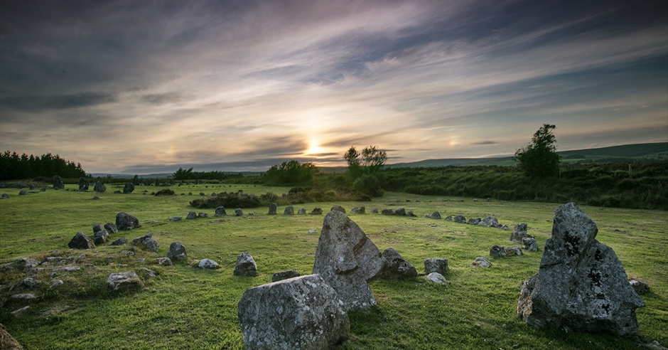
Depicted on 1842 OS 6-inch maps as 'Kill Burial Ground', defined by broken line enclosing roughly circular area (diam. c. 20m). Situated to W of road, within and up against SSW side of possible early ecclesiastical enclosure (9207), the latter clearly visible on aerial photograph (CASAP). Dallauns/Galláin marked on 1842 and 1904 OS 6-inch maps on SW side of burial ground appear to have formed an entrance feature for both large and small enclosure. Landowner levelled most of 'earthen rampart' of larger enclosure in early 19th century (Brash 1879, 132-3); entrance stones and short section of adjacent bank still survive. 'Considerable number of pillar stones' which stood within enclosure also removed by landowner in 19th century (ibid.). According to Brash (ibid.) the site 'which is named Keelboultragh was used within the memory of my informant for the burial of unbaptised children and suicides' (ibid.). When road was constructed in early 19th century, bisecting possible early ecclesiastical enclosure 9207) on N-S axis, 'a great number of cist-formed graves were discovered, constructed of flags set on edge in the usual manner' (ibid.). Site visited by antiquarian John Windele in 1851; he was informed by tenant farmer 'tha the had opened several of them [the graves], but found nothing except human remains, skulls, bones, etc.' (ibid.); Windele (1853, 231) compares these burials with long cists (4211) found at Ballymacus. It seems likely that the later burial of 'unbaptised children and suicides' was concentrated in small enclosure, whilst earlier burials were more widespread within the larger enclosure. Three possible ogham stones (7993, 7994, 7996) associated with site.
The above description is derived from the published 'Archaeological Inventory of County Cork. Volume 3: Mid Cork' (Dublin: Stationery Office, 1997). In certain instances the entries have been revised and updated in the light of recent research.
Date of upload/revision: 14 January 2009
Possible early Christian burial site, likely 6th–9th century AD. Its location near an ecclesiastical enclosure suggests a liturgical or monastic context.
The monument record does not grant public access. Check the route and ask the landowner before entering private land.
- What survives
- Recorded monument
Places near here
 Man-made underground passageMan-made underground passage · 63 yd
 BarrowBarrow, ring-barrow · 1097 yd
 St Eolan's Roman Catholic Churchchurch/chapel · 1374 yd
 Water millWater mill, horizontal-wheeled · 1409 yd
 BurrenMountain / peak · 2.7 mi
 Saint Bartholomew's WellSpring · 2.9 mi
 Mullinhassig WaterfallWaterfall · 2.9 mi
 Mullinhassig WoodWood · 2.9 mi
 Knockduff Wind FarmVisitor information · 3.2 mi
 Black WoodWood · 3.3 mi
 Knockcraugh HillMountain / peak · 3.7 mi
 Clonavrick CliffCliff · 4.6 mi
Other information
Photo: Credit not shown in the picture search · Rights wording not checked; contact us if this picture should be removed