
What is recorded here
Kill Burial Gd is a disused burial ground in County Cork, marked on the 1842 OS map as a raised rectangular area enclosed by an earthen bank. Only one grave marker remains on the north side, while recent dumping has filled the interior, suggesting the site was forgotten before being reused for discard. The pasture slope may have hidden the boundary from later users, turning a place of burial into a place of refuse without witness.
In pasture on N-facing slope. Marked 'Kill Burial Gd.' on OS 6-inch map (1842). Raised rectangular area (15.1m E-W; 10.7m N-S) enclosed by earthen bank (H 1.2m). Only one grave marker noted (N side); recent dumping in interior.
The above description is derived from the published 'Archaeological Inventory of County Cork. Volume 1: West Cork' (Dublin: Stationery Office, 1992). In certain instances the entries have been revised and updated in the light of recent research.
Date of upload/revision: 14 January 2009
The monument record does not grant public access. Check the route and ask the landowner before entering private land.
- What survives
- Recorded monument
Places near here
 Fall DownWaterfall · 381 yd
 The SpringSpring · 845 yd
 Tráigh LiceachBeach / strand · 849 yd
 Tráigh na nDabhchaBeach / strand · 904 yd
 Port a’ DúnaRuins · 1080 yd
 St Bartholomews WellHoly well · 1211 yd
 Carraigín Na SúlViewpoint · 1222 yd
 Cnocán na LeanbhArchaeological place · 1235 yd
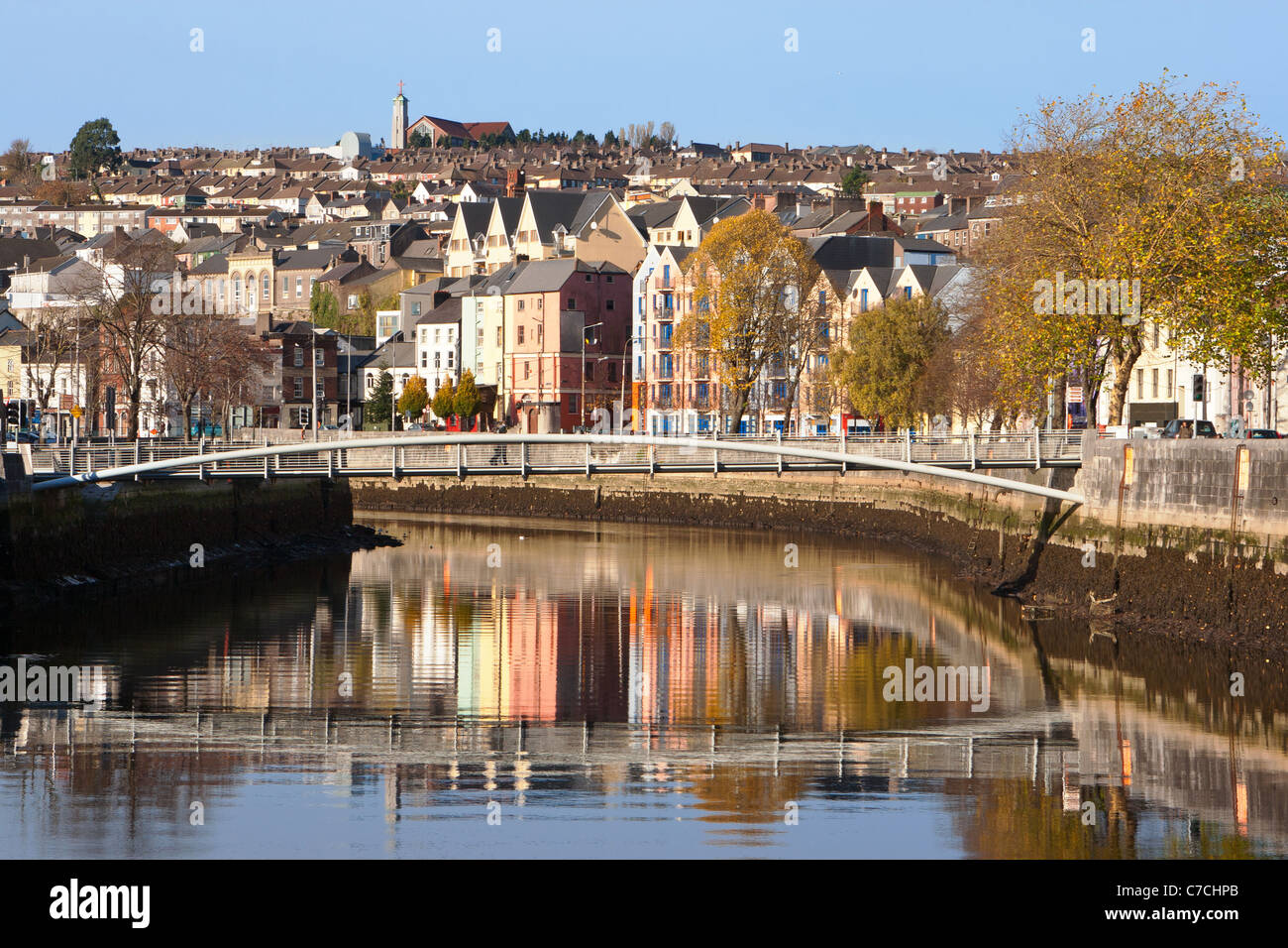 An GoibínHeadland · 1265 yd
 Cnoc MórMountain / peak · 1362 yd
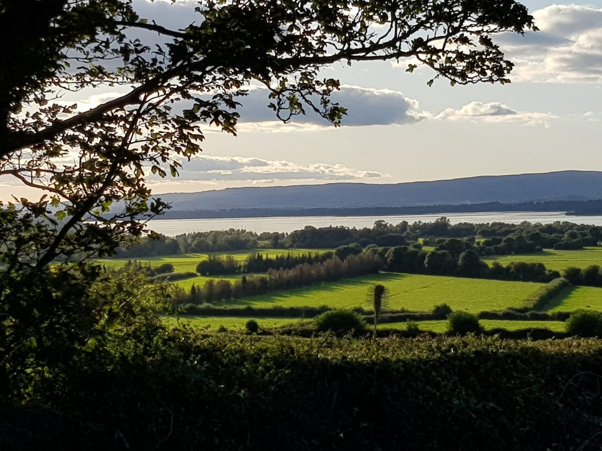 Leaca an ChnoicMountain / peak · 1379 yd
 Wild Atlantic Way:Toe Head BayVisitor information · 1392 yd
Other information
Photo: Credit not shown in the picture search · Rights wording not checked; contact us if this picture should be removed