
What is recorded here
Kill Burial Gd (Disused) is a rectangular burial ground in County Cork, Ireland, marked on the 1842 OS 6-inch map and set inside the northeast quadrant of an early ecclesiastical enclosure. A low grass-covered bank, sixty centimetres high, still bounds the forty-one-by-thirty-metre area, where small stones scatter across the ground and a six-metre circular rise marks the western end. The place may have served a local community for generations before the church enclosure reshaped the landscape, but no surviving record names the people who laid their dead there or the moment the ground fell silent.
In NE quadrant of early ecclesiastical enclosure (CO121-008001-). Marked 'Kill Burial Gd.' on OS 6-inch map (1842). Rectangular area (41.5m E-W; 30m N-S) enclosed by low grass-covered bank (H 0.6m). Scatter of small stones in interior. Circular rise (diam. 6m; H 0.2m) at W end.
The above description is derived from the published 'Archaeological Inventory of County Cork. Volume 1: West Cork' (Dublin: Stationery Office, 1992). In certain instances the entries have been revised and updated in the light of recent research.
Date of upload/revision: 14 January 2009
Possible early Christian burial ground, 6th–10th century AD, associated with adjacent ecclesiastical enclosure. Its location and date suggest a connection to monastic or communal burial practices in the region.
The monument record does not grant public access. Check the route and ask the landowner before entering private land.
- What survives
- Recorded monument
Places near here
 Enclosure in KildeeEnclosure · 45 yd
 Mound in KildeeMound · 91 yd
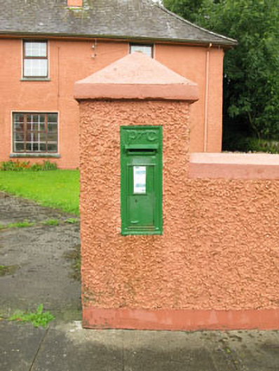 post boxpost box · 715 yd
 Bealanascartane Bridgebridge · 1.5 mi
 Ballinvard CastleCastle · 1.8 mi
 Ballynacarriga CastleCastle, tower house · 1.8 mi
 Corran HillMountain / peak · 3.7 mi
 Mohona WoodWood · 3.7 mi
 Irish National Forestry FoundationNature reserve · 3.8 mi
 Jeremiah O'Donovan RossaMemorial · 3.8 mi
 Cross commemorating Holy Day.Memorial · 3.9 mi
 CarrigfaddaMountain / peak · 4.0 mi
Other information
Photo: Credit not shown in the picture search · Rights wording not checked; contact us if this picture should be removed