What is recorded here
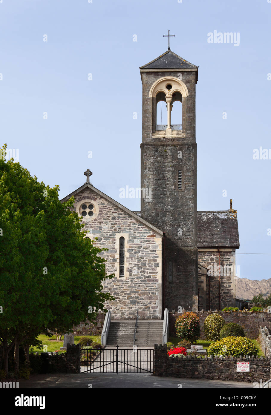
Kilfelim Church in County Kerry survives only as a low earthen platform forty metres long, marked at one end by a solitary tree and boulder that local tradition identifies as the last trace of its altar. The name preserves Saint Phelim, while the missing walls remind us that Irish sacred memory often shifted from stone to landscape when building faded. A person may have knelt beside that boulder long after the church disappeared, directing prayer toward the living marks rather than forgotten brickwork.
Kilfelim Church is recorded as a archaeological place in County Kerry. Its open map record supplies this location and any linked names or public references.
Places near here
 Site of Kilfelim ChurchChurch · 17 yd
 Inchaboy Fort (Remains of)Enclosure · 1033 yd
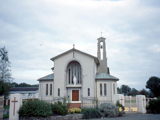 Catholic Church of the Immaculate Conceptionchurch/chapel · 1.1 mi
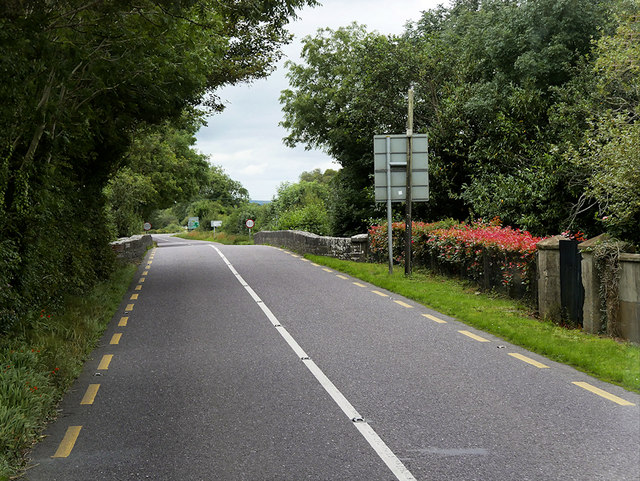 O'Connell Bridgebridge · 1.1 mi
 Site of Currans CastleCastle, unclassified · 1.6 mi
 Castle (in ruins)Castle, Anglo-Norman masonry castle · 3.2 mi
 Crag CaveCave · 4.7 mi
 Common AlderCommon Alder · 6.7 mi
 Ballygamboon Forest Recreation AreaWood · 6.7 mi
 Aghadoe Early Medieval Ecclesiastical SiteHeritage attraction · 8.3 mi
 Famine MemorialMemorial · 8.8 mi
 Stack's MountainMountain / peak · 9.0 mi
Other information
Photo: Credit not shown in the picture search · Rights wording not checked; contact us if this picture should be removed