What is recorded here
Located on a gentle E-facing slope at the foothills of the Blackstairs Mountains. The graveyard is marked faintly as a circular enclosure (diam. c. 40m) on the 1839 ed. of the OS 6-inch map with a church building inside it. The crosses (WX018-001005-; WX018-001006-) are within the small graveyard (ext. dims. 12m N-S; 11m E-W) defined by masonry walls that is possibly a family graveyard now. Archaeological testing (05E0893) to withn 30m S and SW of the graveyard produced no archaeological material (McLoughlin 2008).
Compiled by: Michael Moore
Date of upload: 22 May, 2012
The monument record does not grant public access. Check the route and ask the landowner before entering private land.
- What survives
- Recorded monument
Places near here
 Cross in Askinvillar UpperCross · 1 yd
 St. Doran's WellArchaeological place · 51 yd
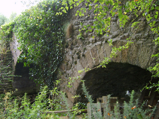 Askinvillar Bridge or Rigley's Bridgebridge · 1029 yd
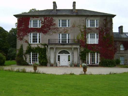 Woodbrook Housecountry house · 1737 yd
 1798 MemorialMemorial · 2.1 mi
 SlievebaunMountain / peak · 2.2 mi
 KnockroeMountain / peak · 3.1 mi
 Coonogue WoodForest · 3.5 mi
 Killoughrum ForestForest · 4.4 mi
 Mount LeinsterMountain · 4.6 mi
 Irish Hangliding and Paragliding AssociationMemorial · 4.7 mi
 Ruin of a small castleRuins · 5.4 mi