What is recorded here
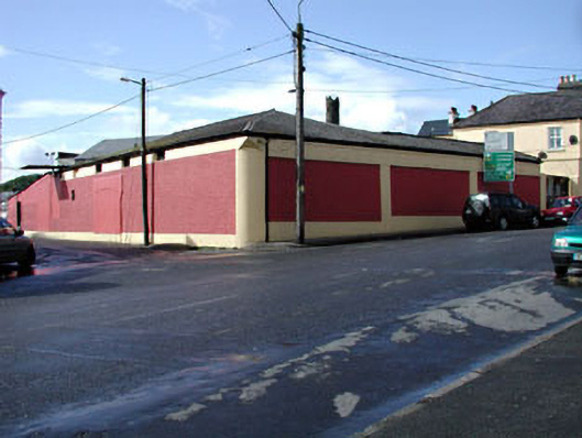
Attached four-bay double-height former factory building, c.1950, on a corner site originally with square-headed integral carriageway to centre, chamfered corner and four-bay double-height side elevation to south-east. Now disused. Hipped roof on an L-shaped plan with corrugated-asbestos. Rolled ridge tiles. Cast-iron rainwater goods on eaves course. Roughcast walls. Painted. Rendered dressings including piers to side elevation to south-east with eaves band over having raised lettering. Square-headed window openings. No sills. Fittings not discerned. Outline of square-headed integral carriageway. Rendered surround. Now blocked-up. Road fronted on a corner site. Concrete footpath to front.
This building is of some social and historical significance, attesting to the continued industrialisation of Kildare town in the mid twentieth century. An austere composition with few openings, the elevations are relieved primarily through the use of rendered piers forming panels to the roughcast walls. An attractive feature of the building is the raised lettering to the elevation to south-east, a once traditional practise that is now rare and of some artistic merit. The building is a prominent feature of the streetscape, forming the corner of Bangup Lane and Bride Street.
This does not grant access. Most recorded buildings are privately owned; view them only from public ground unless the owner allows entry.
Places near here
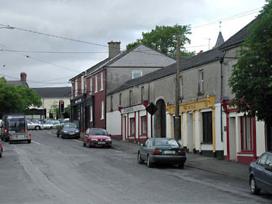 outbuildingoutbuilding · 24 yd
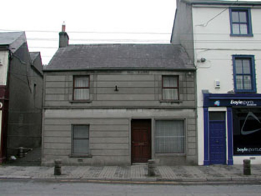 Chalk Househouse · 78 yd
 CrossCross, High cross · 160 yd
 Sheela-na-gig (present location) in KildareSheela-na-gig (present location) · 170 yd
 CastleCastle, motte · 178 yd
 Castle in ruinsCastle, Anglo-Norman masonry castle · 185 yd
 Saint Fiachra's GardenHeritage attraction · 1389 yd
 Bee-bee treeBee-bee tree · 1466 yd
 Horse MuseumMuseum · 1472 yd
 Dawn RedwoodDawn Redwood · 1616 yd
 Bithia Mary CrokerMemorial · 5.7 mi
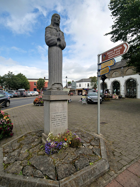 1798 Monumentmonument · 78 yd
Other information
Photo: National Inventory of Architectural Heritage · Website use allowed for educational or private purposes with source credit