
What is recorded here
Kilcashel is a coastal stone ringfort in County Donegal, Ireland, where a fifteen-metre circular wall still stands one metre high on a limestone knoll surrounded by sea on three sides. The builders incorporated bare rock into the wall, blending human craft and natural shape until the boundary between them vanished. Rough pasture and scattered stones mark the ground today, but the fort remains a clear circle against the horizon, holding its form long after the hands that shaped it disappeared.
Internal diam. 15m. An almost circular area enclosed by a stone wall which survives up to 1.1m in height. Sections of rock outcrop are incorporated in the wall. The wall varies in width from 1.3m to 2.85m. The site is located on a knoll of limestone surrounded on the N, E and S by the sea. There is rough pasture with much rock outcrop.
The above description was derived from the 'Archaeological Survey of County Donegal. A description of the field antiquities of the County from the Mesolithic Period to the 17th century.' Compiled by: Brian Lacey with Eamon Cody, Claire Cotter, Judy Cuppage, Noel Dunne, Vincent Hurley, Celie O'Rahilly, Paul Walsh and Seán Ó Nualláin (Lifford: Donegal County Council, 1983). In certain instances the entries have been revised and updated.
Date of upload: 22 September 2008
The monument record does not grant public access. Check the route and ask the landowner before entering private land.
- What survives
- Recorded monument
Places near here
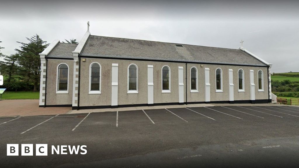 Church in KilcashelChurch · 492 yd
 St. Connells CrossCross · 611 yd
 Reported Drumacrolly Hill FortFairy fort / ringfort · 933 yd
 outbuildingoutbuilding · 1.1 mi
 Carrickalahagh HeadlandPublicly named cliff or headland · 1.4 mi
 IllancreeveIslet · 1.6 mi
 Tramore StrandBeach / strand · 2.0 mi
 Maghera StrandBeach / strand · 2.1 mi
 Assaranca Waterfallwaterfall · 2.3 mi
 Maghera WaterfallWaterfall · 2.4 mi
 Maghera CavesSea caves · 2.6 mi
 John DohertyMemorial · 2.6 mi
Other information
Photo: Credit not shown in the picture search · Rights wording not checked; contact us if this picture should be removed