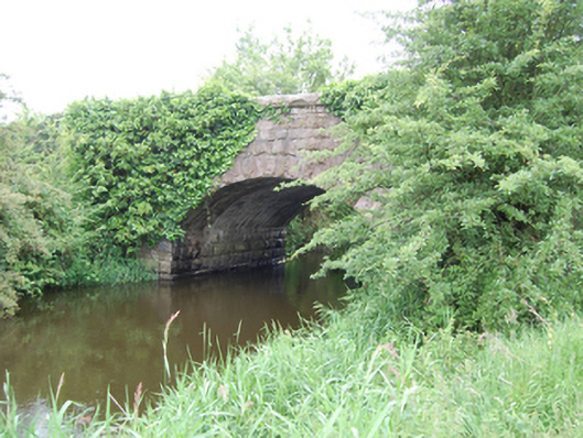
What is recorded here
Single-arch masonry road bridge spanning a watercourse between Glasshouse Lake and Rockfield Lough, built c.1840. Rock-faced ashlar stone abutments, rock-faced ashlar voussoirs with dressed arrises to segmental arch rings, rendered soffit. Rock-faced spandrels, parapet and coping of large projecting stones. Squared rubble stone wing walls with cut stone coping, two buttresses to north side of western approach.
A well-executed stone bridge of simple and functional design. The stonework elevates the simple design with an attractive textural contrast achieved between the rock-faced ashlar and the lines of the arch and projecting coping. Spanning the boundary to Co. Leitrim, Killbracken Bridge is shown on the Ordnance Survey map of 1836, and the Cavan Grand Jury sought funding for a road between it and Killeshandra in 1837. The present bridge appears to be of later nineteenth-century construction, possibly rebuilt by the Board of Works as part of arterial drainage improvements, but may retain wings from the earlier structure.
This does not grant access. Most recorded buildings are privately owned; view them only from public ground unless the owner allows entry.
Places near here
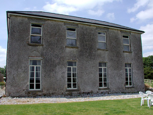 Kilbrackan Housecountry house · 367 yd
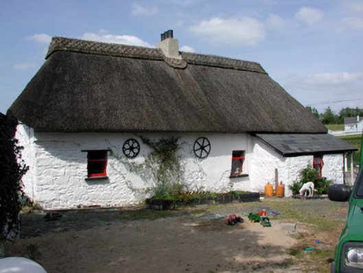 Homelyfarm house · 733 yd
 Drumergoole WoodForest · 1260 yd
 Common LimeCommon Lime · 1513 yd
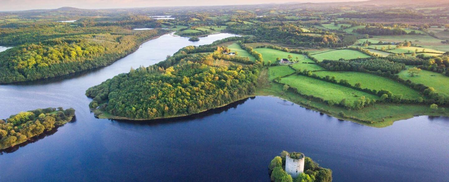 IndicatedFairy fort / ringfort · 1.5 mi
 CorradarrenMountain / peak · 1.8 mi
 King's GraveArchaeological place · 1.8 mi
 DrumbreanlisMountain / peak · 1.9 mi
 Mass-rock in Annagh (carrigallen By.)Mass-rock · 1.9 mi
 Killeshandra Irish Countrywomen's Association 70th AnniversaryMemorial · 3.5 mi
 Inch IslandIslet · 4.9 mi
 Woodenhouse BayBay · 5.1 mi
Other information
Photo: National Inventory of Architectural Heritage · Website use allowed for educational or private purposes with source credit