What is recorded here
Kilboy Ho is an unclassified castle hidden somewhere in Kilboy, not necessarily beneath the later house. The uncertainty itself belongs to the place: a low hill, open pasture, distant mountains, and a little castle that refused to be found. Whatever stood there, it gave up its shape and left behind a view large enough to contain the loss.
Situated on a low hill in undulating pastureland at the foothills of the Silvermines Mountains with extensive views in all directions. Described in the (1654-6) Civil Survey as 'a little Castle' (Simington 1934, vol. 2, 248). It has been assumed that Kilboy House was built on the site of the medieval castle mentioned in the 1654-56 Civil Survey, however it is possible that the castle was located elsewhere within the townland of Kilboy. Kilboy House described by the NIAH as a 'Detached five-bay single-storey house over basement, built c. 1775, destroyed in 1922 and rebuilt c. 1955 with portico to entrance'(www.buildingsofireland.ie). No visible remains of any pre-1700 building in the area around Kilboy House. Medieval castle unlocated within the townland of Kilboy.
The above description is derived from 'The Archaeological Inventory of County Tipperary. Vol. 1 - North Tipperary' compiled by Jean Farrelly and Caimin O'Brien (Dublin: Stationery Office, 2002). In certain instances the entries have been revised and updated in the light of recent research.
Compiled and revised by: Caimin O'Brien
Date of revised upload: 12 July 2016
Built in the late 16th or early 17th century, likely by a local Gaelic lord or Anglo-Norman family, Kilboy Ho is remembered as a small but strategically positioned stronghold in the Silvermines Mountains area. It is noted in early surveys, reflecting its role in the regional landscape during the Tudor period.
The monument record does not grant public access. Check the route and ask the landowner before entering private land.
- What survives
- Recorded monument
Places near here
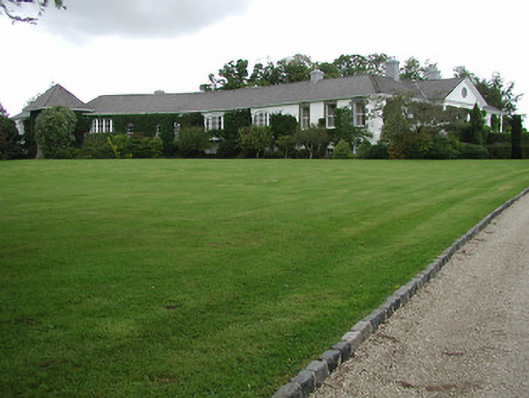 Kilboy Housecountry house · 339 yd
 Enclosure in Kilboy (kilmore Par., North Riding)Enclosure · 701 yd
 Dolla Church (in Ruins)Church · 780 yd
 Sweet ChestnutSweet Chestnut · 802 yd
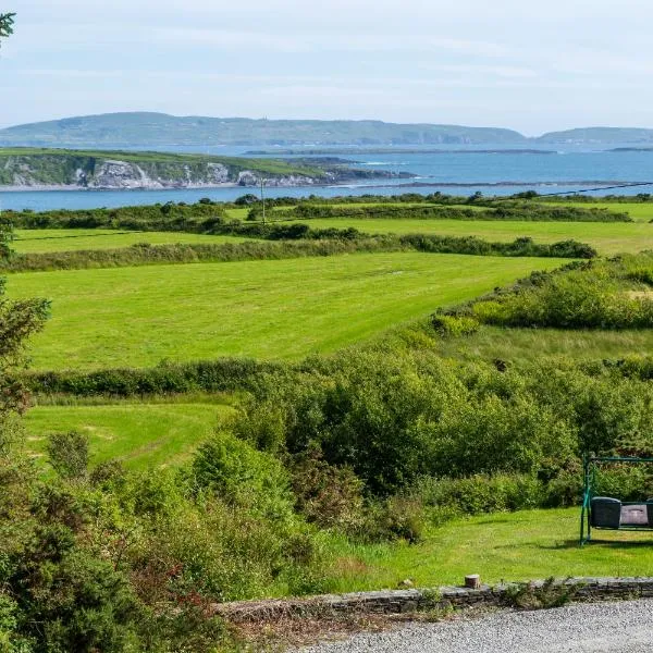 ToberanureHoly well · 1.1 mi
 Our Lady Assumed into HeavenMemorial · 1.4 mi
 The MinerMemorial · 1.4 mi
 Silvermines ViewpointViewpoint · 1.6 mi
 Site of Ballygown CastleCastle, unclassified · 1.9 mi
 Site of Bawn CastleCastle, unclassified · 2.1 mi
 Silvermine Mountains E TopMountain / peak · 2.5 mi
 Silvermine Mountains W TopMountain / peak · 3.0 mi