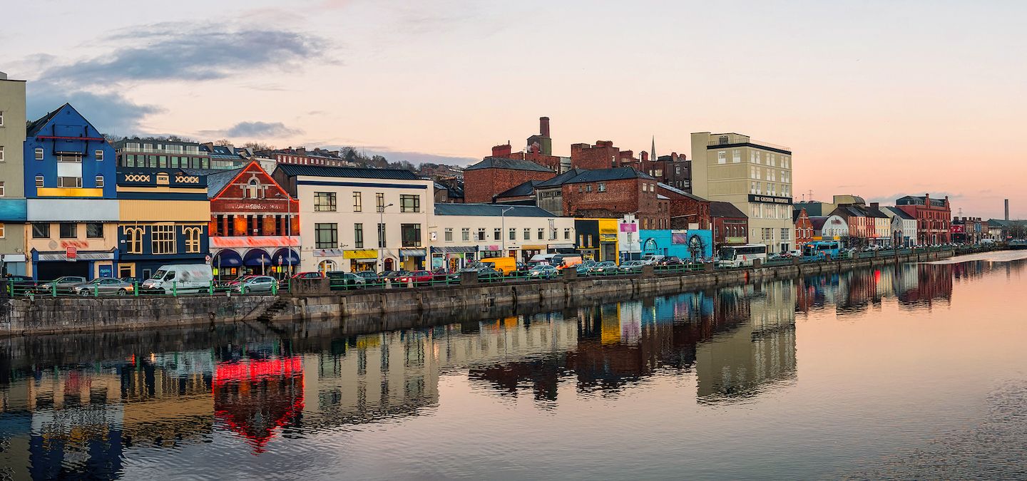
What is recorded here
Kiel is a marker-less burial ground hidden in tillage on a south-facing slope in County Cork. Rough earth and overgrowth mark the irregular shape where dead people may have rested before ploughing changed the field. The absence of graves or stones does not erase the place; it removes the chance to read the names of those who slept there.
In tillage on S-facing slope. Irregular area defined by overgrowth; ground is rough and undulating. Remainder of field tilled. No grave markers noted.
The above description is derived from the published 'Archaeological Inventory of County Cork. Volume 1: West Cork' (Dublin: Stationery Office, 1992). In certain instances the entries have been revised and updated in the light of recent research.
Date of upload/revision: 14 January 2009
The monument record does not grant public access. Check the route and ask the landowner before entering private land.
- What survives
- Recorded monument
Places near here
 Mound in LissagriffinMound · 178 yd
 Creamery PlatformMemorial · 284 yd
 Cross in LissagriffinCross · 429 yd
 Castle (Site of)Castle, unclassified · 762 yd
 Barley CoveHeritage attraction · 1630 yd
 Chimney CoveBeach / strand · 1710 yd
 Church in Kilbarry (carbery West (w.d) By.)Church · 1.3 mi
 KnockboyMountain / peak · 1.8 mi
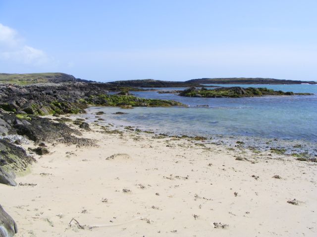 Galley Cove BeachBeach / strand · 1.8 mi
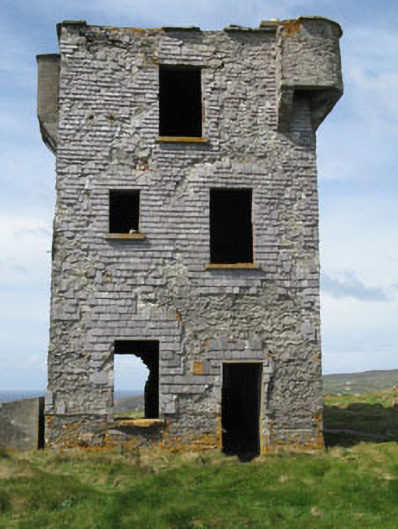 Browhead Signal Stationsignal tower · 1.9 mi
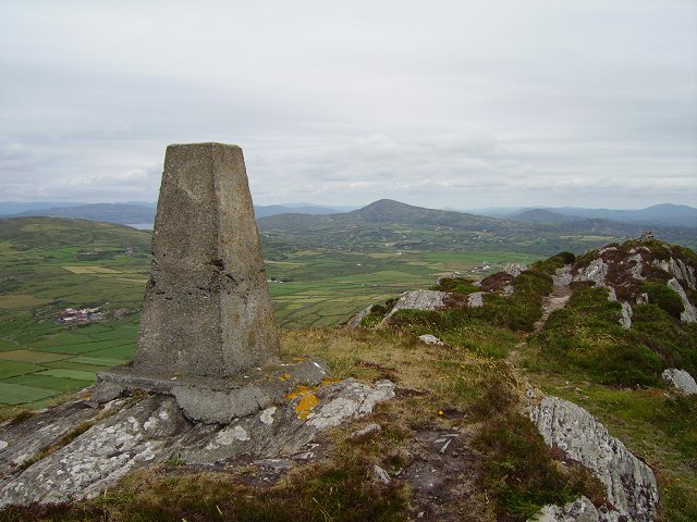 Mizen PeakMountain / peak · 2.1 mi
 Burial in LissagriffinBurial · 642 yd
Other information
Photo: Credit not shown in the picture search · Rights wording not checked; contact us if this picture should be removed