What is recorded here
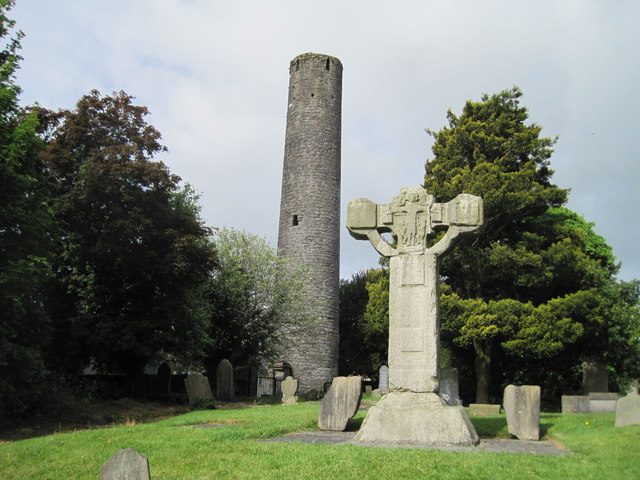
Kells Round Tower rises twenty-six metres above County Meath, its sandstone and limestone body marking a place where Saint Columba first settled before monks from Iona returned to rebuild the abbey. The structure keeps five top windows instead of the usual four, supposedly pointing toward every road and gate entering the town. Its cap is gone, perhaps taken by lightning, leaving the tower exposed and blunt against the sky. A king lost his life inside that bell tower in 1076, while ordinary people once climbed wooden steps to reach the door high above the ground.
Kells Round Tower is recorded as a memorial in County Meath. Its open map record supplies this location and any linked names or public references.
Places near here
 Round TowerRound tower · 7 yd
 Kells High Crosses and Round TowerMemorial · 12 yd
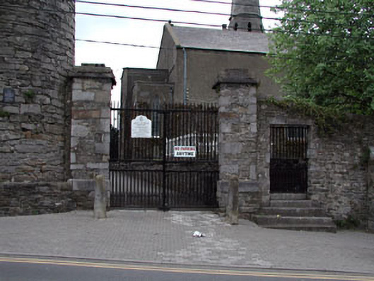 Saint Columba's Church (Kells)gates/railings/walls · 13 yd
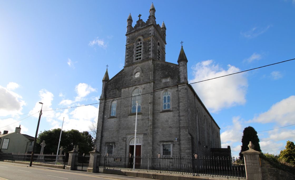 Font (present location) in Town Parks (kells Upper By.)Font (present location) · 47 yd
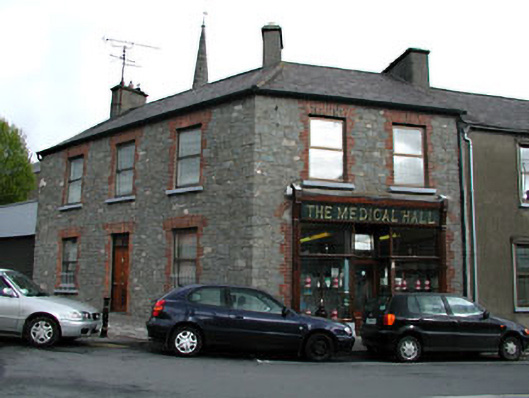 The Medical Hallhouse · 83 yd
 James CarolanMemorial · 231 yd
 CastleCastle, unclassified · 241 yd
 Long WoodWood · 1237 yd
 Lady's Well WoodForest · 1248 yd
 Castle ruinsCastle · 1.5 mi
 MountainpoleMountain / peak · 1.9 mi
 BalreaskMountain / peak · 2.5 mi
Other information
Photo: Nigel Thompson · CC BY-SA 2.0