What is recorded here
Jewsharp Well stood on a stream near the River Nanny in Tuam, marked on early maps but erased by 1932. It may have been a holy well, feeding devotion or thirst in the northwest suburbs. Whatever it gave, the town took back, burying the water and forgetting the name.
On a stream close to its confluence with the River Nanny in NW suburbs of Tuam town (GA029-199----). Marked on 1st ed. OS 6-inch map but evidently gone by the time of 3rd ed. (1932). No visible surface trace survives. A possible holy well (GA029-175----) lies 125m to ENE.
The above description is derived from the published 'Archaeological Inventory of County Galway Vol. II - North Galway'. Compiled by Olive Alcock, Kathy de hÓra and Paul Gosling (Dublin: Stationery Office, 1999).
Date of upload: 05 August 2010
The monument record does not grant public access. Check the route and ask the landowner before entering private land.
- What survives
- Recorded monument
Places near here
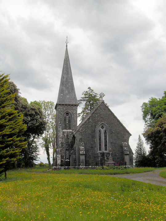 Priests WellHoly well · 136 yd
 Abbey WellHoly well · 167 yd
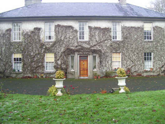 Prospect Househouse · 244 yd
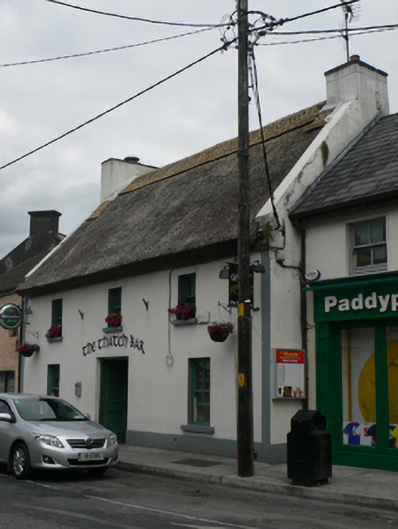 The Thatch Barhouse · 335 yd
 CastleCastle, unclassified · 451 yd
 European ashEuropean ash · 2.2 mi
 Mass RockNamed rock · 3.2 mi
 Ballinderry CastleCastle, tower house · 3.8 mi
 KnockmaaWood · 5.0 mi
 Kilcoona Round TowerHeritage attraction · 8.8 mi
 Ballinduff BayBay · 11 mi
 Oileán an AoilIsland · 13 mi