What is recorded here
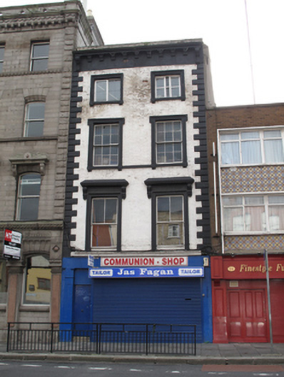
Terraced two-bay four-storey house, built c.1780, remodelled c.1840, having recent shopfront to front (north) elevation. M-profile pitched roof, hipped to east, with render chimneystacks and clay chimney pots, hidden behind rendered parapet. Rendered fascia and cornice having scrolled consoles and modillions to parapet. Painted brick laid in Flemish bond with render quoins to front elevation, rendered walls to west elevation. Square-headed window openings with render architraves, cornices on scrolled consoles to first floor windows. Replacement timber windows to third floor, six-over-six pane timber sash windows to second floor, two-over-one pane timber sash windows to first floor. Square-headed door opening to east of shopfront, with recent steel door and granite step. Shopfront having steel shutter.
This mid-Georgian building retains much of its early form and design, including timber sash windows which lend a patina of age. Later stucco detailing provides artistic interest, and demonstrates a desire to update the building to contemporary fashions. Now largely surrounded by buildings of a more recent date, it adds important historic character to the street. The Dublin Street Directory of 1862 lists it as the property of Thomas F. Cleary, draper, milliner and Manchester warehouseman, suggesting that this site has a long commercial association. Thomas Street developed along the ancient Slige Mor highway to the west, and was named after an abbey dedicated to Saint Thomas the Martyr, which was established in the area in 1177. The city water course partially ran along the street until it was paved over in 1696, and the ready availability of water contributed to the development of the street as a centre of brewing and distilling.
This does not grant access. Most recorded buildings are privately owned; view them only from public ground unless the owner allows entry.
Places near here
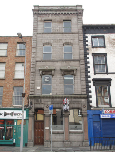 Dublin Volunteer Centrehouse · 6 yd
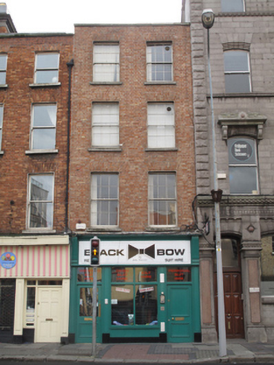 Black Bowhouse · 13 yd
 Medieval DublinVisitor information · 95 yd
 Gairdín Súgartha i gCuimhne ar na Páistí a Cailleadh in 1916Memorial · 143 yd
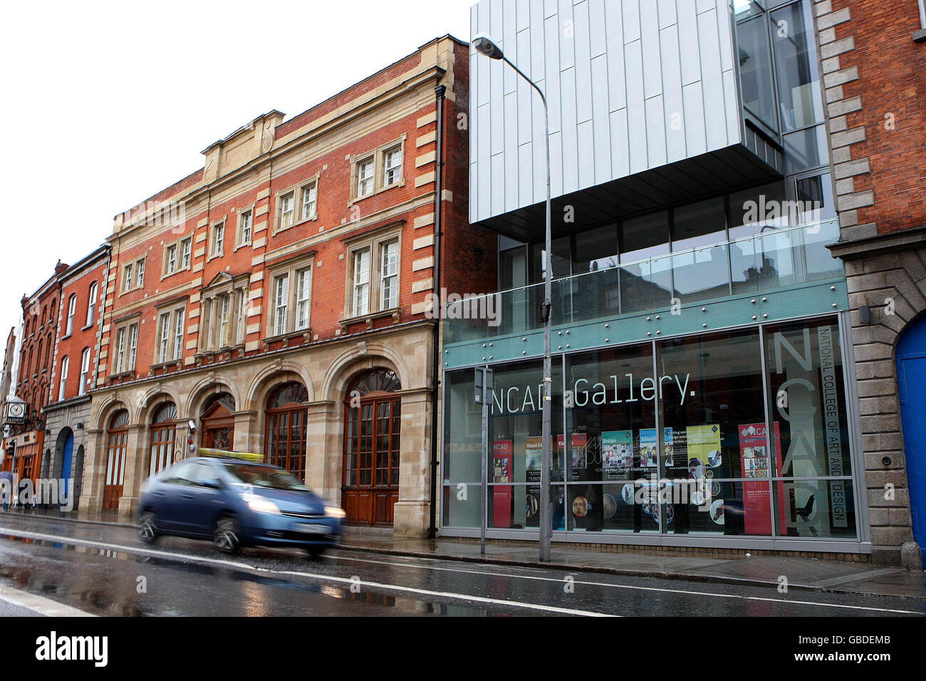 NCAD GalleryGallery · 164 yd
 Cross-slab in Unknown TownlandCross-slab · 193 yd
 Font in Unknown TownlandFont · 193 yd
 St Audoen’s ChurchMuseum · 193 yd
 Site of Saint Patrick's wellMemorial · 473 yd
 European PearEuropean Pear · 558 yd
 CastleCastle, unclassified · 1047 yd
 London PlaneLondon Plane · 1147 yd
Other information
Photo: National Inventory of Architectural Heritage · Website use allowed for educational or private purposes with source credit