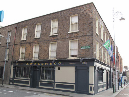
What is recorded here
Corner-sited end-of-terrace three-storey house, built c.1850, having four-bay front (north) elevation and four-bay west elevation. Shopfront to front and west elevations, now in use as public house. Pitched slate roof with brown brick chimneystacks and clay chimneypots, hidden behind partially rebuilt brown brick parapet wall having granite coping. Cast-iron rainwater goods. Brown brick walls laid in Flemish bond. Square-headed window openings throughout, brown brick voussoirs, raised render reveals, painted masonry sills and two-over-two pane timber sash windows. Shopfront comprising render pilasters with carved scrolled consoles, some paired, supporting fascia and dentillated timber cornice. Square-headed window openings having timber-framed fixed windows, timber sills and panelled risers, cast-iron railings to windows, those to front flanking square-headed door opening with double-leaf timber panelled door. Square-headed door openings to front and west elevations flanked by pilasters having scrolled foliated consoles and steel roller-blinds. Square-headed door opening to west elevation, timber panelled door and overlight. Panelled risers throughout. Elliptical-headed doorcase to west elevation comprising moulded masonry surround, panelled pilasters with scrolled foliated consoles supporting panelled lintel cornice over timber panelled door, plain overlight.
Prominently sited at a junction on Stoneybatter, this building maintains the parapet height and fenestration alignment of neighbouring buildings, making a positive contribution to the streetscape. The regularity of its fenestration provides well-proportioned facades, enhanced by the retention of salient features such as timber sash windows. The shopfront to the ground floor provides contextual and artistic interest, enlivened by subtle decorative features such as floriated consoles, a dentillated cornice and cast-iron window rails. Stoneybatter was originally a street of considerable importance, being one of the principal thoroughfares through the Medieval suburb of Oxmantown, which developed around an early royal route to Tara. As a main route to Smithfield on fair days, it developed a commercial character with many pubs and grocery shops.
This does not grant access. Most recorded buildings are privately owned; view them only from public ground unless the owner allows entry.
Places near here
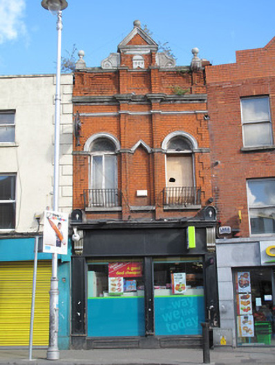 Centrashop/retail outlet · 34 yd
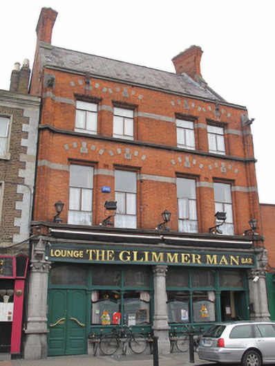 The Glimmermanpublic house · 60 yd
 Apple OrchardVisitor information · 301 yd
 UN Veterans MemorialMemorial · 347 yd
 National Museum of Ireland (Decorative Arts & History)Museum · 351 yd
 Jameson ChimneyHeritage attraction · 361 yd
 1916 Easter RisingMemorial · 416 yd
 CastleCastle, unclassified · 435 yd
 Royal BarracksBarracks · 471 yd
 Burial ground in Unknown TownlandBurial ground · 500 yd
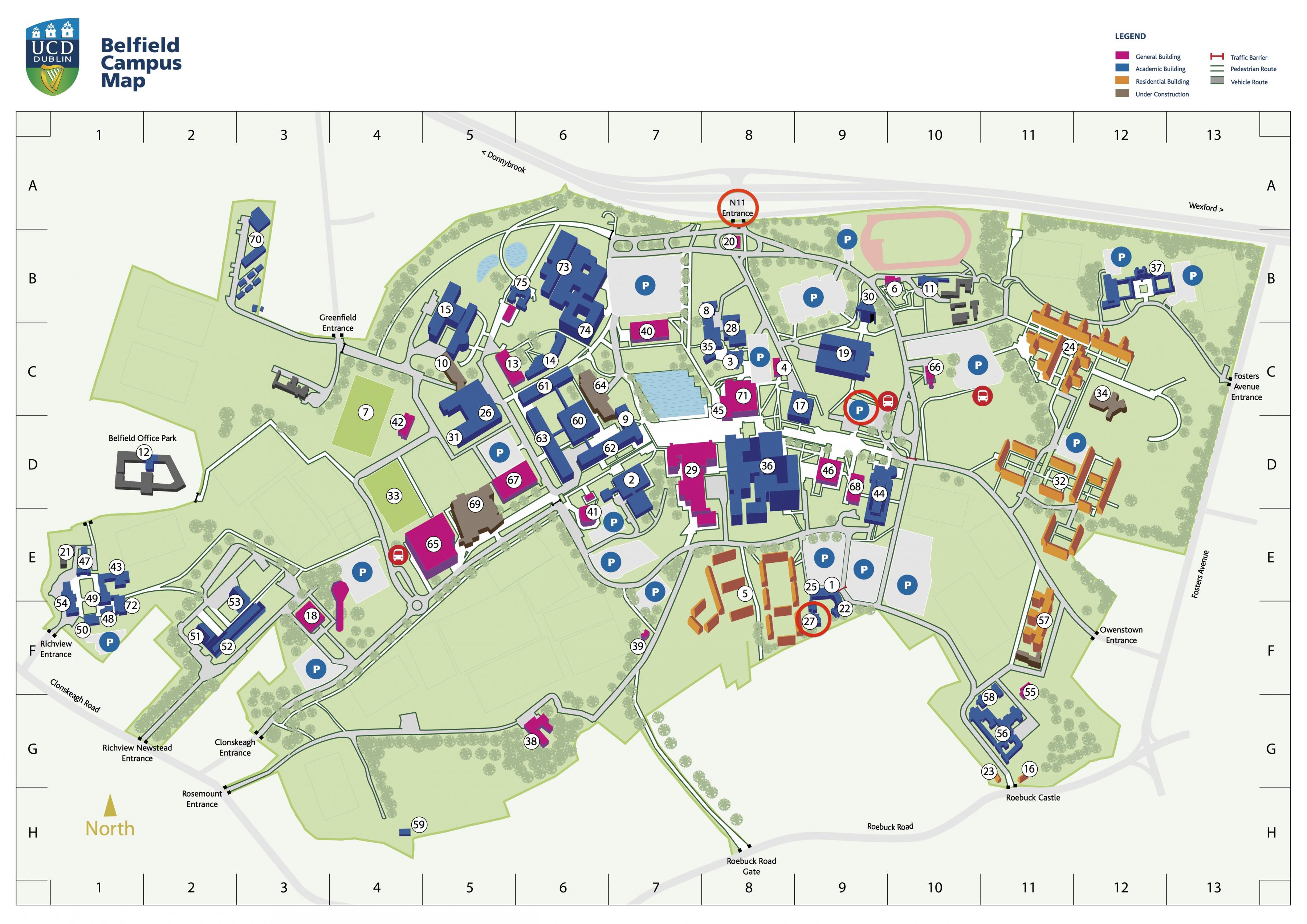 Campus Information PointVisitor information · 598 yd
 London PlaneLondon Plane · 655 yd
Other information
Photo: National Inventory of Architectural Heritage · Website use allowed for educational or private purposes with source credit