What is recorded here
Scotland's National Record of the Historic Environment records Inver Mill Farm as Farmstead (period Unassigned), Watermill (period Unassigned). The official map says its point is accurate as follows: NGR given to the nearest 10m. The record does not by itself mean that the public may enter the place.
The historic-place record does not grant public access. Check current conditions and ownership before entering land or a building.
Places near here
 InverVillage (period Unassigned) · 122 yd
 Inver BridgeRoad Bridge (18th Century) · 178 yd
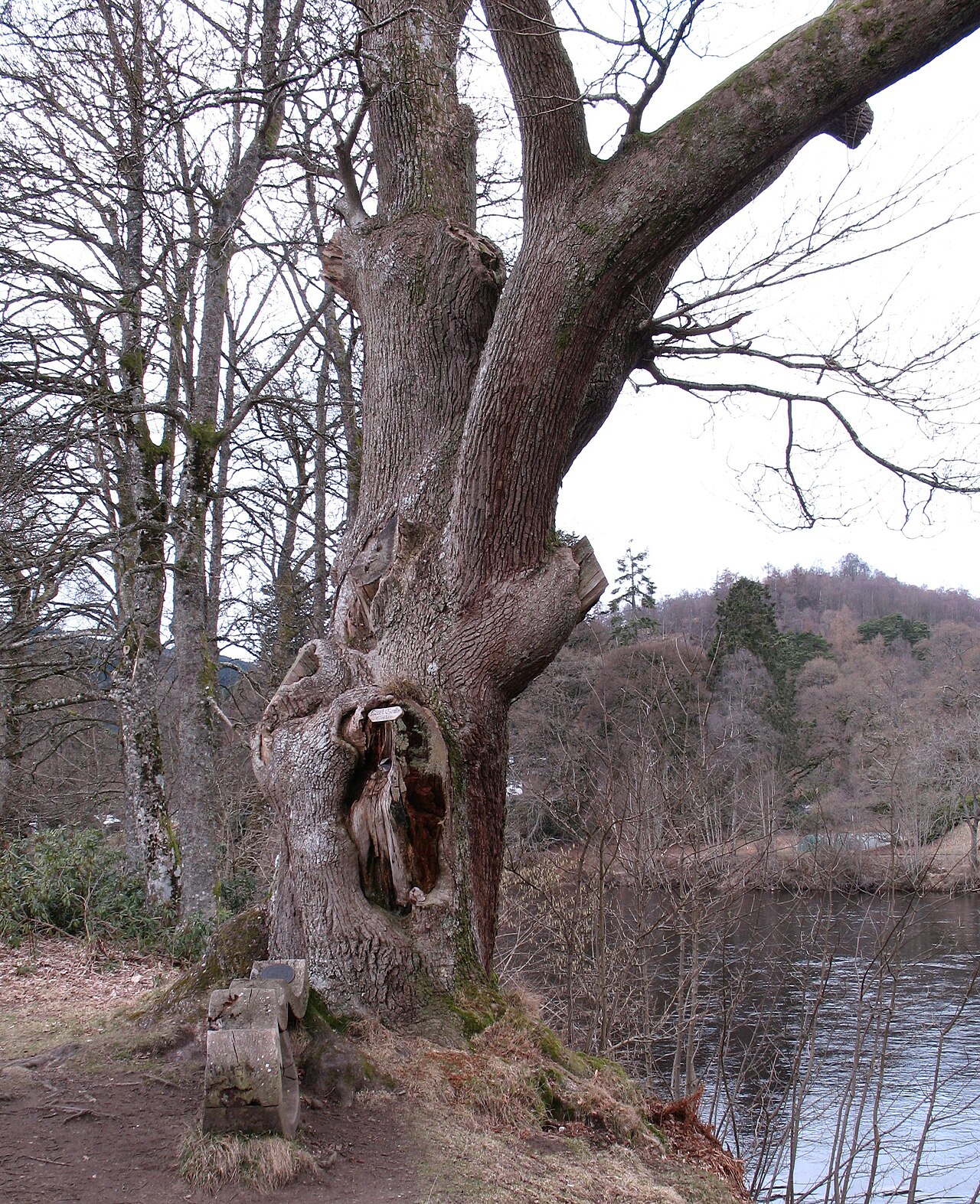 Niel Gow's OakOak · 406 yd
 DunkeldPin (bronze)(period Unassigned) · 424 yd
 LadywellMilestone (19th Century) · 457 yd
 Ossian's HallVisitor information · 904 yd
 Parent LarchEuropean Larch · 912 yd
 Falls of BraanWaterfall · 970 yd
.jpg?width=1280) Cathedral GatesMemorial · 1044 yd
Cathedral GatesMemorial · 1044 yd The Old RectoryMemorial · 1057 yd
 Battle of DunkeldMajor battlefield · 1074 yd
.jpg?width=1280) Cathedral Street, DunkeldNo Class (event) (period Unassigned) · 1082 yd
Cathedral Street, DunkeldNo Class (event) (period Unassigned) · 1082 yd