
What is recorded here
Scotland's National Record of the Historic Environment records Inver Bridge as Road Bridge (18th Century). The official map says its point is accurate as follows: NGR given to the nearest 1m. The record does not by itself mean that the public may enter the place.
The historic-place record does not grant public access. Check current conditions and ownership before entering land or a building.
Places near here
 InverVillage (period Unassigned) · 231 yd
 DunkeldPin (bronze)(period Unassigned) · 245 yd
 LadywellMilestone (19th Century) · 314 yd
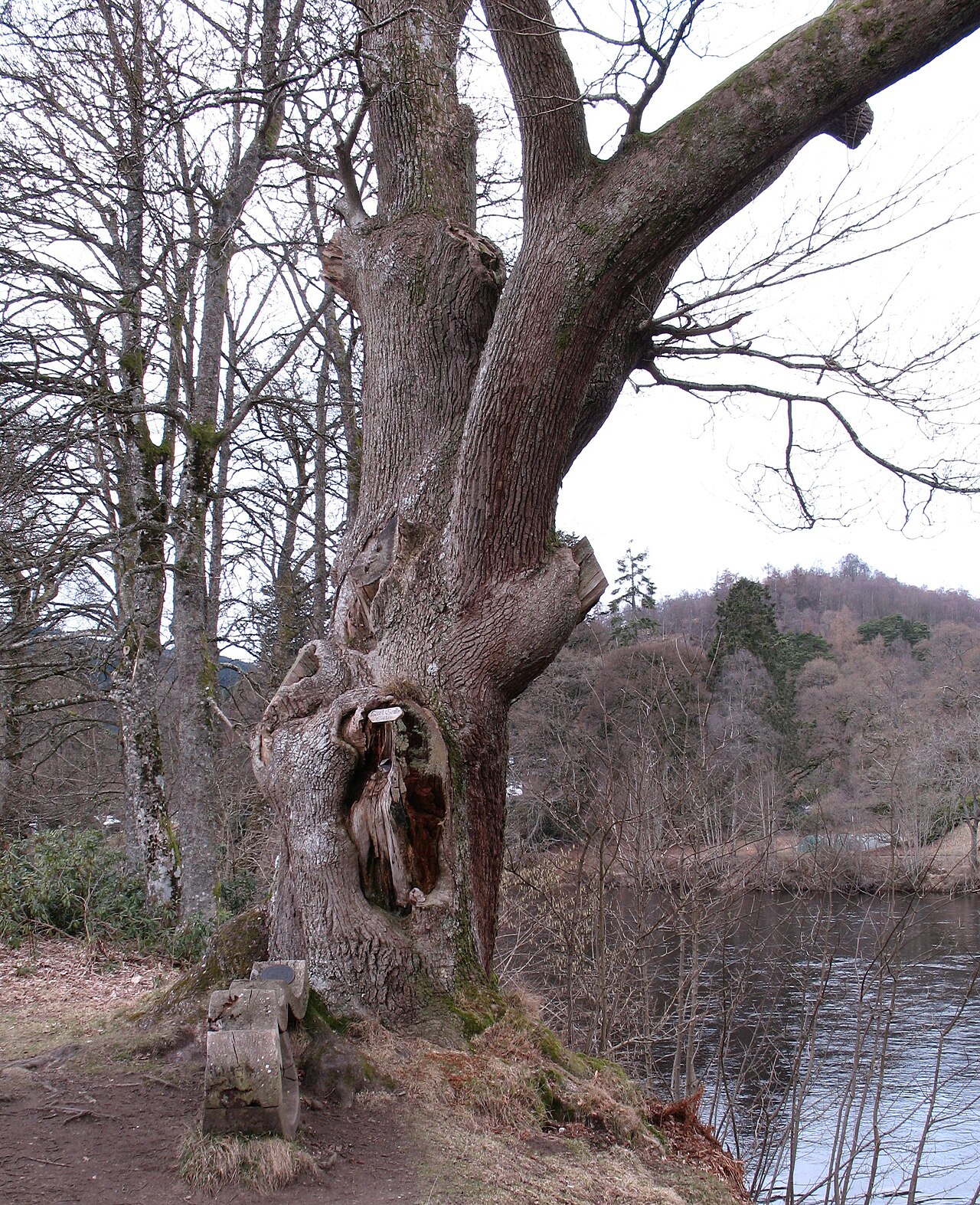 Niel Gow's OakOak · 571 yd
 Hermitage Road Railway BridgeRailway Bridge (19th Century) · 598 yd
 Parent LarchEuropean Larch · 814 yd
.jpg?width=1280) Cathedral GatesMemorial · 935 yd
Cathedral GatesMemorial · 935 yd The Old RectoryMemorial · 948 yd
.jpg?width=1280) Cathedral Street, DunkeldNo Class (event) (period Unassigned) · 972 yd
Cathedral Street, DunkeldNo Class (event) (period Unassigned) · 972 yd Battle of DunkeldMajor battlefield · 1011 yd
 Dunkeld EllHeritage attraction · 1041 yd
 Atholl Memorial FountainHeritage attraction · 1072 yd
Other information
Photo: ronnie leask · CC BY-SA 2.0