What is recorded here
Record number KD019-030044- was created for the unknown, present location of this monument, a Lattin and Luttrell slab of 1600, reused in 1719 by P. Latton, but now missing, according to Bradley et al. (1986 vol. 4, 363), from its original location (KD019-030029-) in St David's Parish Church, Naas (KD019-030020-). (Comerford 1880-83, 115).
Compiled by: Gearóid Conroy
Date of upload: 10 June 2011
The monument record does not grant public access. Check the route and ask the landowner before entering private land.
- What survives
- Recorded monument
Places near here
 Monread District Park WoodsWood · 189 yd
 Naas ParkWood · 368 yd
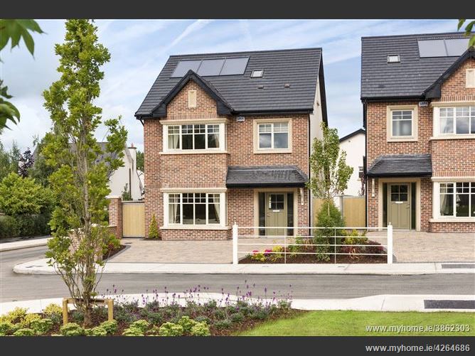 Enclosure in Oldtown DemesneEnclosure · 493 yd
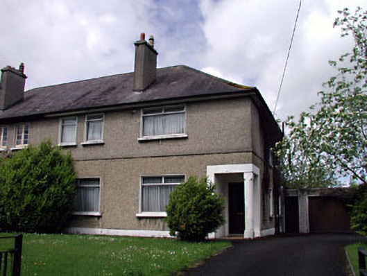 Nagle Househouse · 674 yd
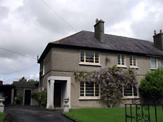 Menapahouse · 683 yd
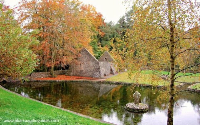 St. Patricks WellHoly well · 724 yd
 Poplar SquarePicnic place · 1284 yd
 Site of Eustace CastleCastle, tower house · 1305 yd
 Site of Black CastleCastle, unclassified · 1435 yd
 Councillor Jim MileyMemorial · 6.5 mi
 Proclamation of the Irish RepublicMemorial · 6.5 mi
 Cupidstown HillMountain / peak · 6.6 mi