What is recorded here
This record was formerly classified as ‘Ogham stone (present location)’. This was based on local information provided to survey staff in 1984 and 1990 which recorded that the stone had been broken in two with one half buried and the other half lost (SMR file). As the so-called ogham markings have never been verified as genuine this stone cannot be classified with certainty as an ogham stone and a proper elucidation of the monument must await further investigation. The stone was supposedly located c. 400m north-west of this position (see GA016-134----).
Compiled by: Paul Walsh
Date of upload: 14 November 2016
The monument record does not grant public access. Check the route and ask the landowner before entering private land.
- What survives
- Recorded monument
Places near here
 Enclosure in LissanannyEnclosure · 859 yd
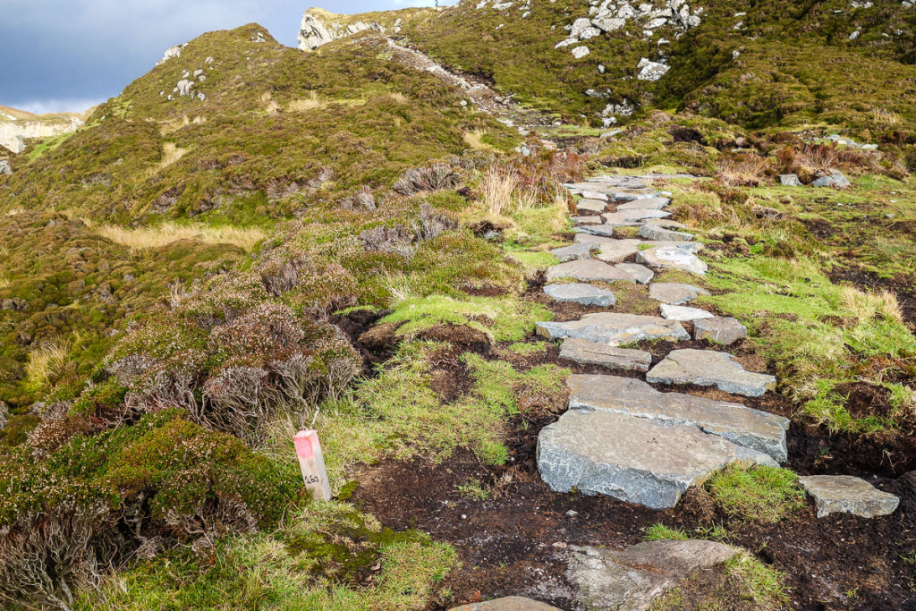 Mass-rock in LiskeevyMass-rock · 928 yd
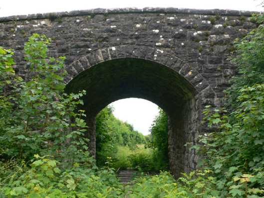 bridgebridge · 1566 yd
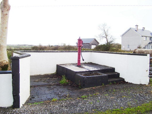 water pumpwater pump · 1628 yd
 CastleCastle, tower house · 1.5 mi
 Fartamore Castle (ruins)Castle · 1.8 mi
 European ashEuropean ash · 4.3 mi
 Mass RockNamed rock · 4.5 mi
 European YewEuropean Yew · 4.6 mi
 Ross Errilly FriaryHeritage attraction · 11 mi
 Otter IslandIslet · 14 mi
 Inis Mhic an TrírIsland · 14 mi