What is recorded here
St. Clómaun’s Well (WX046-036001-) is situated at the bottom of a steep E-facing slope that forms the W bank of a wide N-S river and the well is at the boundary with the mud-flats of the tidal river. When a concrete basin was installed a stone with the inscription 'RC 1696' was recovered together with a stone that had the imprint of a human foot, a portion of a cross, and part of a font (The People 13-07-1954, 10). These stones are no longer at the site.
Compiled by: Michael Moore
Date of upload: 19 August, 2-13
The monument record does not grant public access. Check the route and ask the landowner before entering private land.
- What survives
- Recorded monument
Places near here
 St. Clomauns WellHoly well · 1 yd
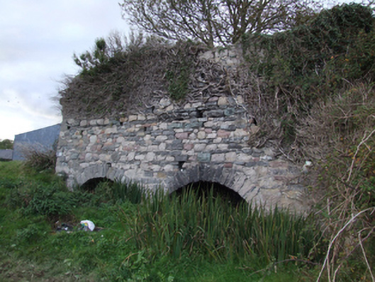 kilnkiln · 294 yd
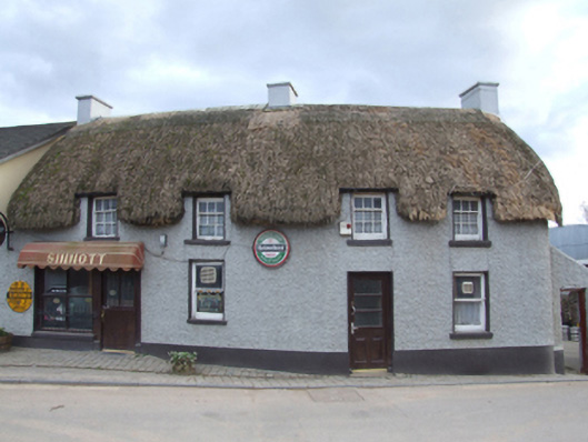 Sinnottfarm house · 353 yd
 Ecclesiastical enclosure in DuncormickEcclesiastical enclosure · 389 yd
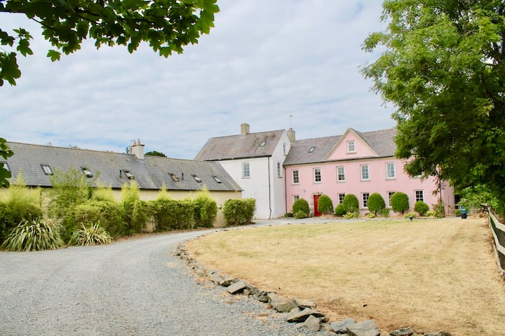 Castle (in ruins)Castle, tower house · 407 yd
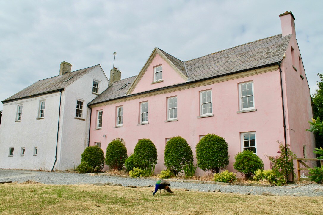 Embanked enclosureCastle, motte and bailey · 452 yd
 Cull IslandIsland · 1.4 mi
 Ballyteigue BurrowNature reserve · 2.0 mi
 Cullenstown StrandBeach / strand · 2.9 mi
 Carrig-On-BannowVisitor information · 3.4 mi
 1798 MemorialMemorial · 3.5 mi
 Ballymadder PointHeadland · 3.8 mi