What is recorded here
In pasture at the top of a moderately steep S-facing slope. A roughly circular area (int. diam. 31m) is defined by an inner and an outer bank with an intervening fosse. The inner bank of earth and stone (int. H 0.1m-0.7m; Wth 7-8m; ext. H 1.8–2.8m) has been reduce to a scarp (H 2m) along the E and has an overgrown gap (Wth 3m) at W, a narrower livestock gap at NNE, and its outer face is denuded along the NNW. The fosse is flat-bottomed (Wth 2m at WNW - 6m at N) but poorly preserved along the S. The second, outer bank of earth and stone is best preserved from WNW-N–E (int. H over base of fosse 0.5-1m; Wth 4–6.5m; ext. H 1m), contains a livestock gap at NNE and has been reduced to a scarp (H 0.5m) along the SE and SW. The interior is heavily overgrown in the NE sector and contains a possible Man-made underground passage (MA070-118001-) in the NW sector where the ground is generally level. Elsewhere the internal ground slopes down slightly towards the SE.
Date of visit: 09-05-2025
Compiled by: Gearóid Conroy
The monument record does not grant public access. Check the route and ask the landowner before entering private land.
- What survives
- Recorded monument
Places near here
 IndicatedFairy fort / earthen ringfort · 747 yd
 mill (water)mill (water) · 1500 yd
 Castle (in Ruins)Castle, motte · 1.1 mi
 Corraun CastleCastle · 1.1 mi
 Enclosure in Toormore EastEnclosure · 1.2 mi
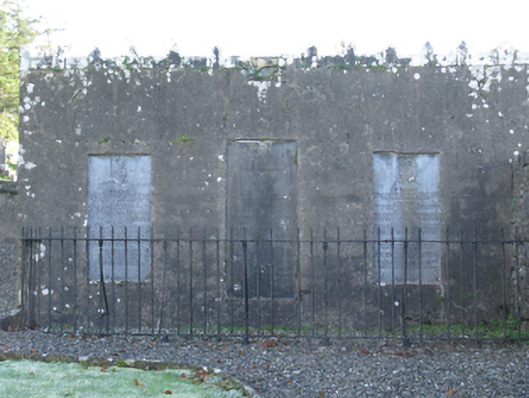 mausoleummausoleum · 1.2 mi
 Oak WoodWood · 2.9 mi
 National Museum of Ireland, Country LifeMuseum · 3.2 mi
 Sunken GardenWood · 3.3 mi
 Thorn CaveCave · 6.5 mi
 I'll Send You The FareMemorial · 6.8 mi
 Kiltimagh MuseumMuseum · 7.0 mi