What is recorded here
Identified as the cropmark of parallel ditches, c. 15m apart, extending in a curve from SE-NW for c. 350m, on aerial photograph (CUCAP BGN093, 19 July 1971). It is not visible at ground level but is visible on Digitalglobe satellite imagery (viewed 29 May 2019). This feature is an 18th/early 19th-century avenue leading to, at the W end, a house called 'Summer Ho[use].' on the 1st (1839) ed. 6-inch OS map, c. 190m NE of Woodsgift House, in an area of woodland and within Woodsgift demesne.
Compiled by: Jean farrelly
Date of upload: 29 May 2019
The monument record does not grant public access. Check the route and ask the landowner before entering private land.
- What survives
- Recorded monument
Places near here
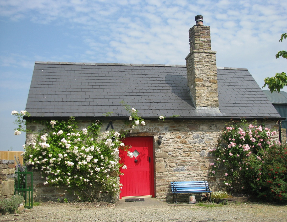 Enclosure in WoodsgiftEnclosure · 235 yd
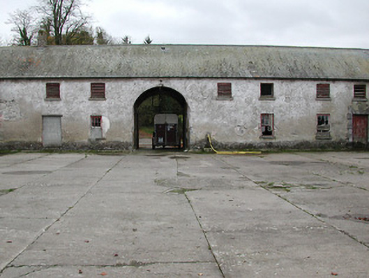 Woodsgift Housefarmyard complex · 423 yd
 Church in WoodsgiftChurch · 622 yd
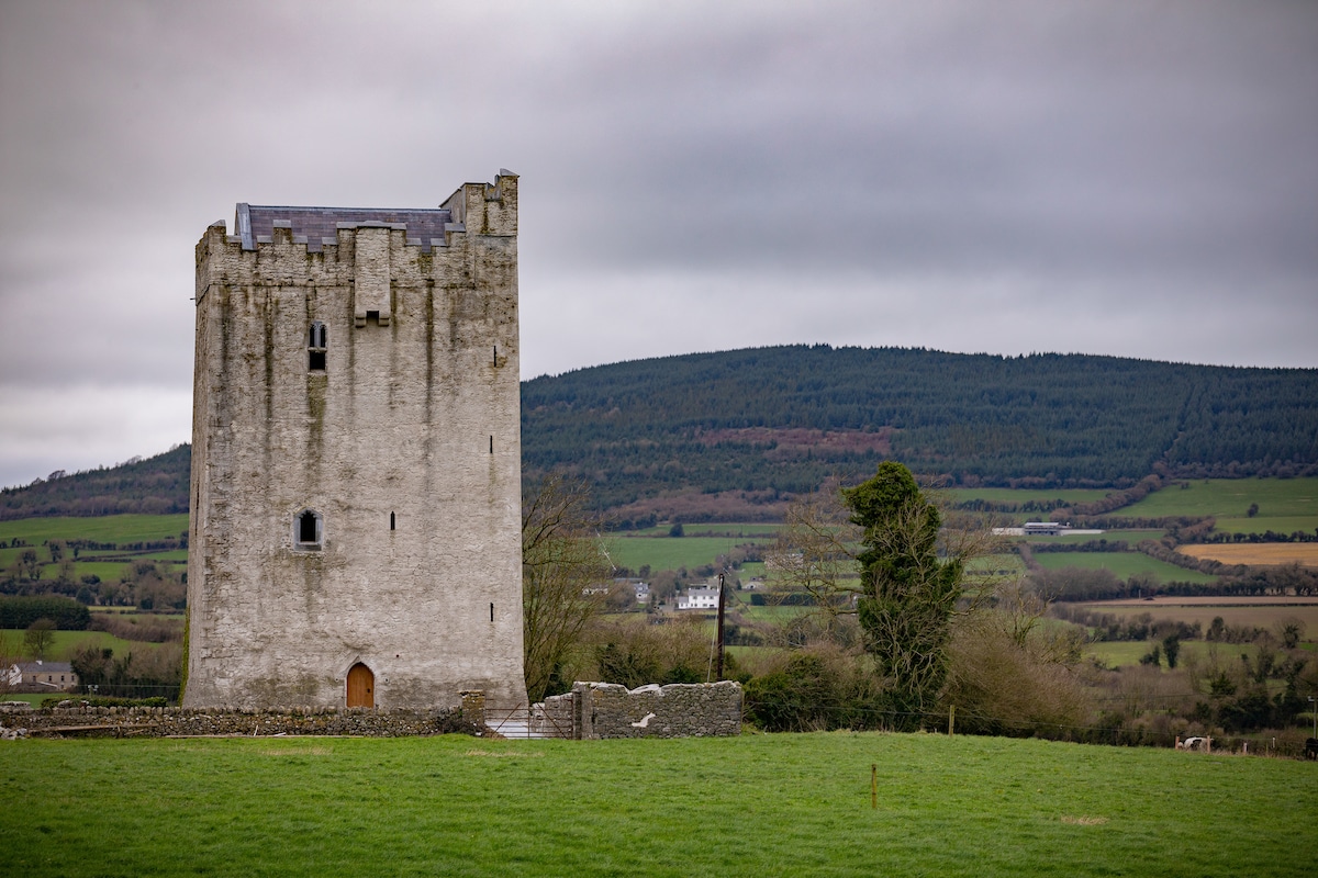 Enclosure in Tubbrid LowerEnclosure · 1213 yd
 CastleCastle, tower house · 1619 yd
 Tubbrid Castle (in ruins)Castle, tower house · 1.4 mi
 Kildrinagh WoodForest · 1.5 mi
 Clomantagh HillMountain / peak · 2.0 mi
 John HelyMemorial · 3.1 mi
 DelaneyMemorial · 3.2 mi
 Deerpark WoodWood · 3.6 mi
 Bregaun HillMountain / peak · 5.5 mi