
What is recorded here
Marked as a subcircular or D-shaped feature (dims c. 40m E-W; c. 30m N-S) abutting the S bank of an E-W section of the River Suck on the 1837 ed. of the OS 6-inch map, and visible as a rectangular area (dims c. 60m E-W; c. 40m N-S) defined by a wide ditch backing onto the W-E River Suck at N on aerial photographs (GSIAP: M 63-4). Situated on the S bank of the River Suck at a point where the river runs W-E (L c. 80m), it is not visible at ground level in pasture. The inland promontory fort (RO026-054----) is immediately across the river (Wth c. 20m) to the N.
Compiled by: Michael Moore
Date of upload: 24 August 2010
A local fairy fort (ringfort/rath); wider significance not recorded.
The monument record does not grant public access. Check the route and ask the landowner before entering private land.
- What survives
- Recorded monument
Places near here
 Promontory fortPromontory fort, inland · 81 yd
 Church in Emlagh (castlereagh By., Castlereagh Ed)Church · 1.0 mi
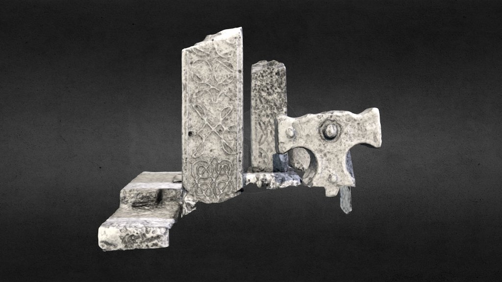 Emlagh CrossCross · 1.0 mi
 Church in Clooncoose SouthChurch · 1.3 mi
 Workhouse MemorialMemorial · 2.1 mi
 Silver IslandIslet · 2.2 mi
 CastleCastle, Anglo-Norman masonry castle · 2.4 mi
 Castlereagh HouseCastle, unclassified · 2.6 mi
 Clonalis HouseMuseum · 3.7 mi
 Coolougher WoodForest · 3.8 mi
 Site of Killomaine Grave YardArchaeological place · 5.5 mi
 Rook HillMountain / peak · 5.7 mi
Other information
Photo: Credit not shown in the picture search · Rights wording not checked; contact us if this picture should be removed