What is recorded here
On level pasture c. 90m NE of a small N-flowing stream. A long, narrow, rectangular area (dims. L 31m N-S; Wth 7m) is enclosed by a substantial earthen bank (Wth 2.6m at W-5.8m at E; int H 0.6m at W-1.5m at E; ext H 1.4m at W and S - 2.4m at E) and by a broad, flat-bottomed, outer fosse (Wth 1.2m at S - 3m at N; D 0.6m at W - 1.6m at E). An entrance gap at S (Wth 1.3m) has a corresponding causeway (Wth 2.4m) crossing the fosse outside. The site is overgrown with ivy-clad trees and briar.
Compiled by: Gearóid Conroy
Date of upload: 10 June 2011
The monument record does not grant public access. Check the route and ask the landowner before entering private land.
- What survives
- Recorded monument
Places near here
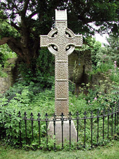 graveyard/cemeterygraveyard/cemetery · 653 yd
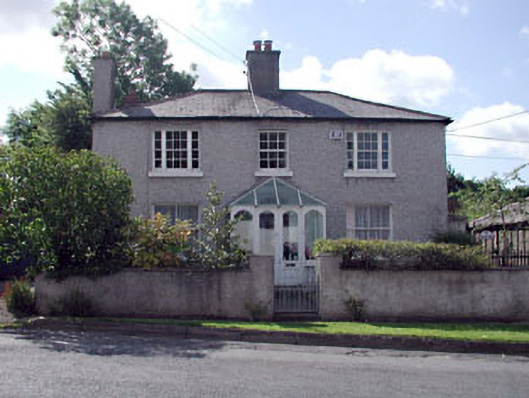 Johnstown Constabulary BarrackRIC barracks · 655 yd
 Enclosure in Forenaghts GreatEnclosure · 950 yd
 European YewEuropean Yew · 1469 yd
 Longstone RathEnclosure · 1543 yd
 Hartwell CastleCastle, unclassified · 1.2 mi
 Naas ParkWood · 1.5 mi
 Kill MoatCastle, motte and bailey · 1.6 mi
 Poplar SquarePicnic place · 2.0 mi
 Cupidstown HillMountain / peak · 5.1 mi
 The Square RenewalMemorial · 5.5 mi
 Dame Ninette de ValoisMemorial · 5.5 mi