
What is recorded here
At a point where the bay of Safe Harbour (RO046-004011-) impinges on the NE shore of Rindown peninsula. A bank and fosse extend NE-SW across the peninsula to a pond close to the SW shore (L c. 200m). Its N end is incorporated into the defences of the castle (RO046-004002-), but its S end consists of a broad bank (L c. 100m; Wth 8.5m; int. H at SE 1.1m; ext. H 2m) and a flat-bottomed fosse (Wth of top 18m; Wth of base 11.5m; D 1.5m). The bank declines towards the SW end (Wth 4m; int. H 0.5m; ext. H 1.3m), but the defences enclose c. 20 ha to the SE. The wall (RO046-004018-) is built just to the SE of the bank and parallel with it. The fosse and bank are interpreted by O’Conor et al. (2014, 315-6) as possibly representing the SE edge of the town and providing a boundary with demesne land associated with the castle (RO046-004002-) at the tip of the peninsula.
Compiled by: Michael Moore
Date of upload: 29 April 2015
The monument record does not grant public access. Check the route and ask the landowner before entering private land.
- What survives
- Recorded monument
Places near here
 R. C. ChapelChurch · 96 yd
 Rindown CastleCastle, Anglo-Norman masonry castle · 152 yd
 Safe HarbourBay · 250 yd
 RindoonWood · 369 yd
 Historic town in Warren,rinnaganHistoric town · 449 yd
 Carrownure BayBay · 565 yd
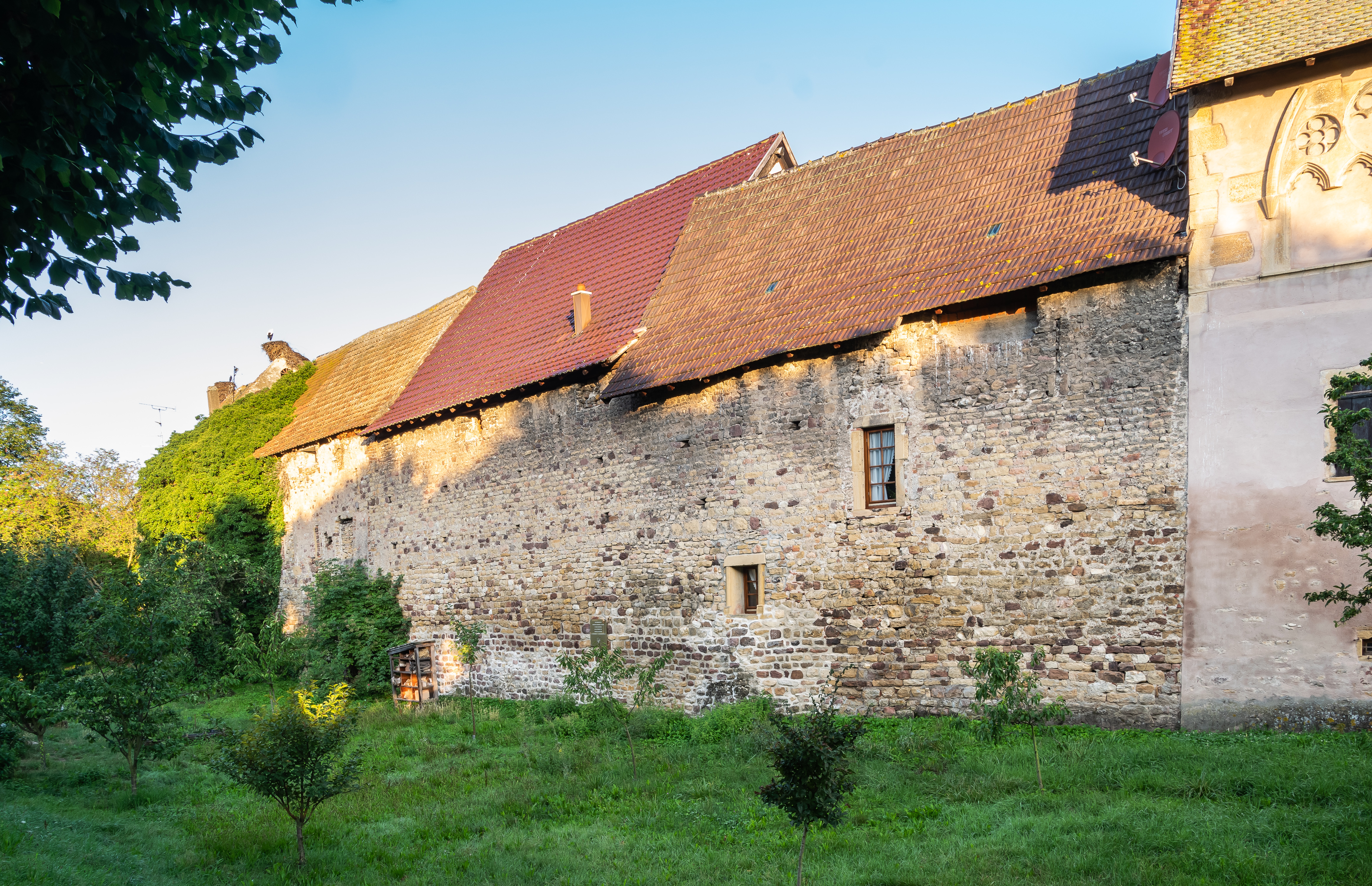 Fortified WallTown defences · 839 yd
 Church (in Ruins)Religious house, Fratres Cruciferi · 1071 yd
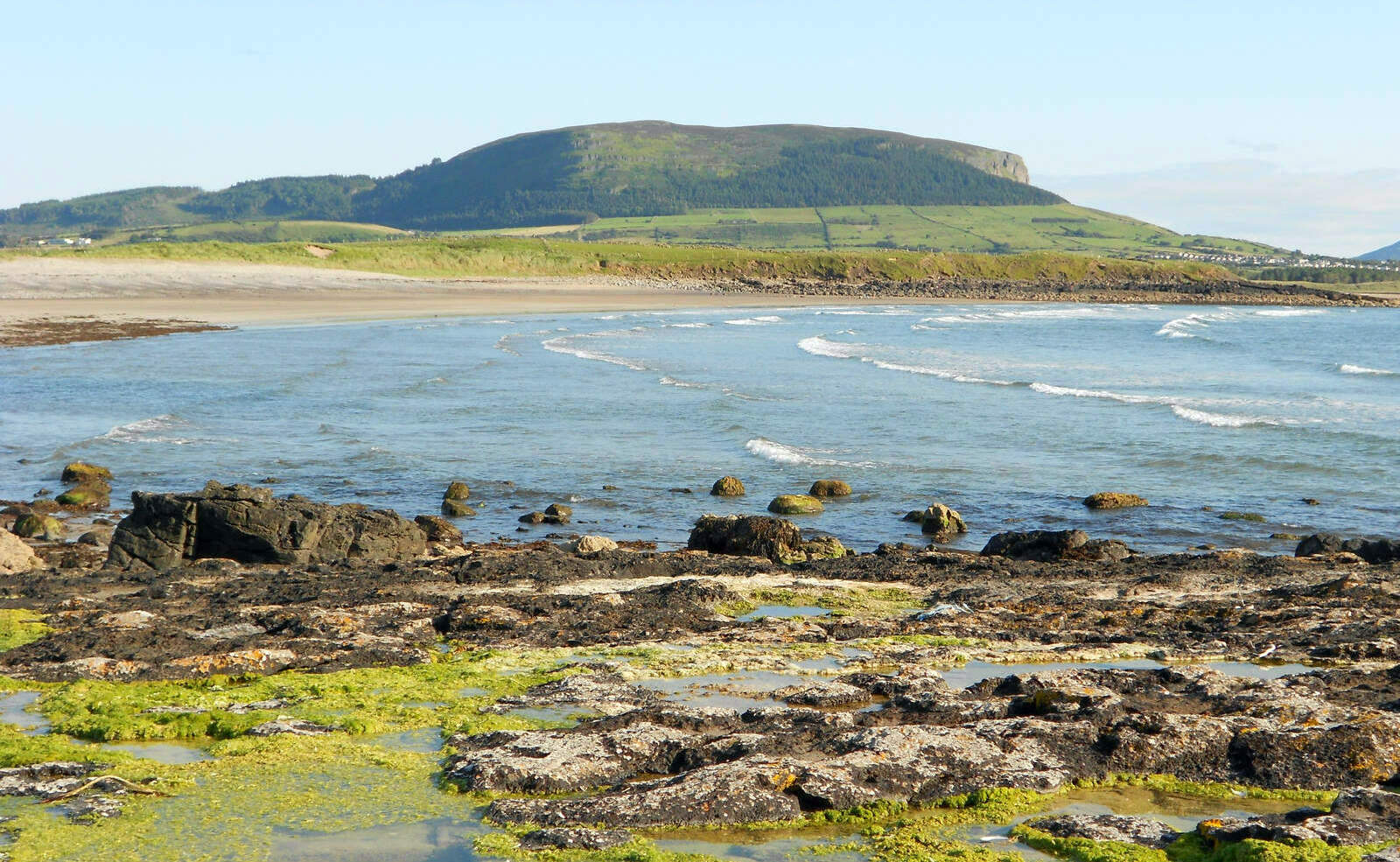 Brearoge IslandsIslet · 1658 yd
 Horse IslandIslet · 1700 yd
 St. John's WoodWood · 1.5 mi
 Culnagore WoodForest · 2.9 mi
Other information
Photo: Credit not shown in the picture search · Rights wording not checked; contact us if this picture should be removed