What is recorded here
The 1838 edition of the OS 6-inch map shows a circular earthwork on the grounds of what was Glasnevin House and now St Mary's Secondary school. Situated on a prominent ridge top overlooking the Tolka valley. There are no visible remains at ground level.
Compiled by: Geraldine Stout
Date of upload: 27 August 2011
This remains an important historical record, but the official description says the monument is no longer visible or has been destroyed. The monument record does not grant public access. Check the route and ask the landowner before entering private land.
- What survives
- No visible remains or recorded as destroyed
Places near here
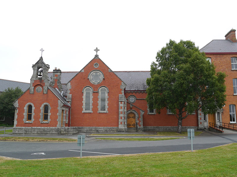 Holy Faith Conventchurch/chapel · 72 yd
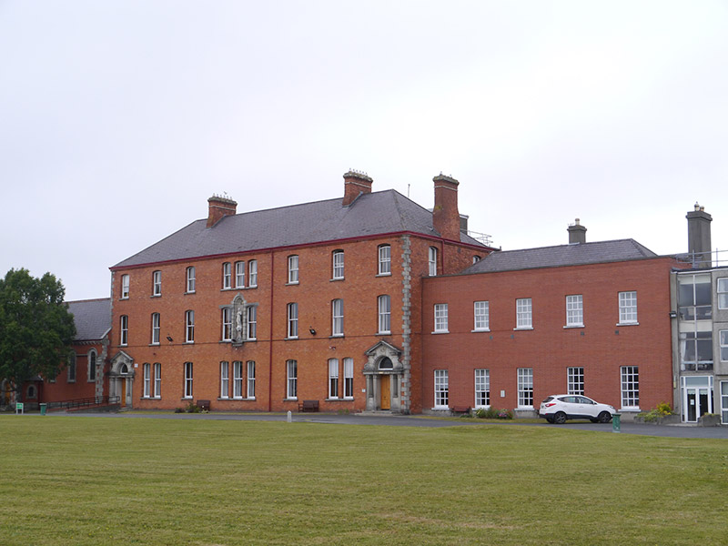 Convent of the Holy Faithconvent/nunnery · 104 yd
 BaldcypressBaldcypress · 138 yd
 Dawn RedwoodDawn Redwood · 162 yd
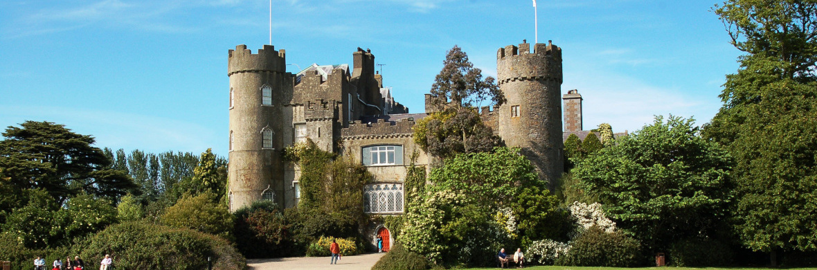 Settlement cluster in Unknown TownlandSettlement cluster · 192 yd
 Burial in Unknown TownlandBurial · 205 yd
 Graveyard in Unknown TownlandGraveyard · 360 yd
 National Botanic GardensHeritage attraction · 377 yd
 SHVisitor information · 404 yd
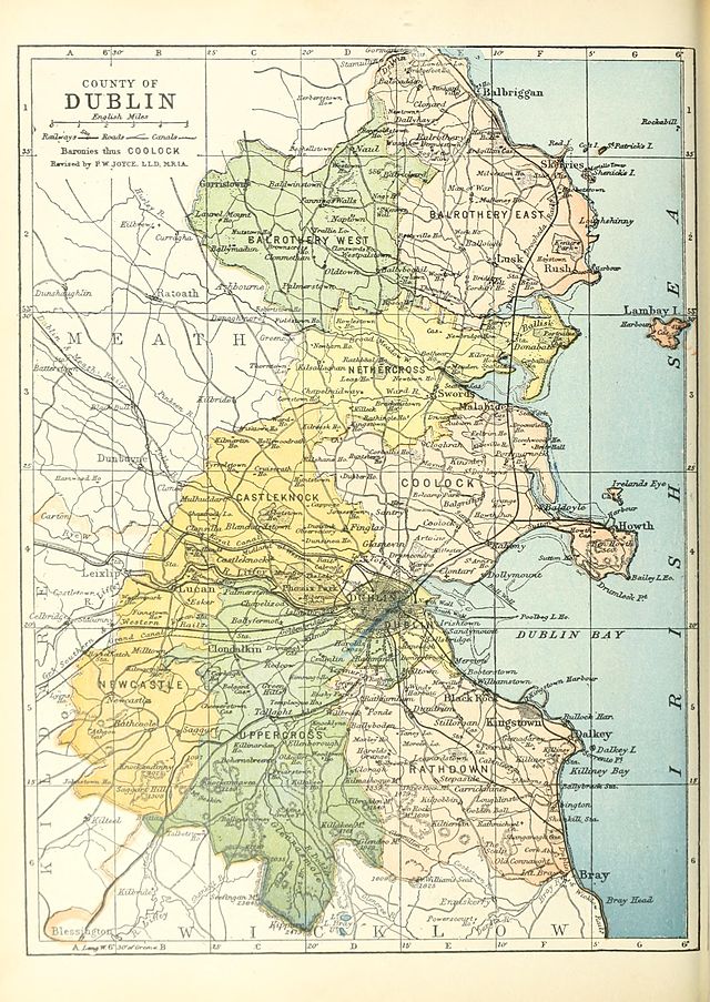 UHVisitor information · 414 yd
 Reconstructed viking houseHeritage attraction · 415 yd
 Republican plotMemorial · 694 yd