What is recorded here
Indicated is a vanished earthen ring on a Clare plateau, reduced now to a low scarp and a memory of trees. Westropp called it possibly sepulchral in 1917, yet farming and patience have sanded its edges into ordinary pasture. The plateau still holds its shape, proud and level, as if remembering the weight of what once stood upon it.
On a low, yet distinct plateau (long-axis NW-SE), in improved pasture. This feature is depicted on the 1842 edition of the OS 6-inch map as a circular coppice of trees (51m N-S; 48m E-W) defined by a perforated line. It is described by Westropp (1917, 11) as a ‘small earthen ring, possibly sepulchral’. This field has been much improved and the top of the naturally formed plateau has been levelled out. There is little trace of an enclosure, except the arc of a low scarp (Wth 3.4m; H 0.7m) SE-S. This may be a result of material from the ‘earthen ring’ which has been levelled out downslope.
The following images have been uploaded:
CL027-022----_01.jpg From ESE. General view across top of plateau; standing stone (CL027-021----) in background.
CL027-022----_02.jpg From NE. Cross-section view of possible scarp at SE.
Compiled by: Mary Tunney, Alison McQueen and Vera Rahilly
Date of upload: 26 November 2018
The monument record does not grant public access. Check the route and ask the landowner before entering private land.
- What survives
- Recorded monument
Places near here
 Tyredagh Castle (in ruins)Castle, tower house · 392 yd
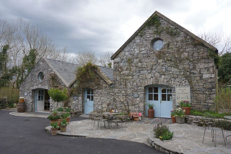 Enclosure in AffickEnclosure · 1043 yd
 IndicatedFairy fort / stone ringfort · 1358 yd
 Milltown Castle (in ruins)Castle, tower house · 1501 yd
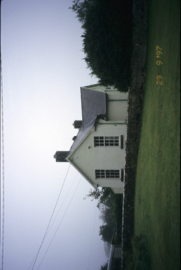 Scoil Náisiúnta Macaireschool · 1644 yd
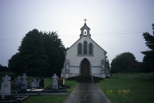 Saint Stephen's Catholic Churchchurch/chapel · 1680 yd
 The StablesGallery · 2.1 mi
 Derrymore WoodWood · 2.9 mi
 Cloghleagh RockNamed rock · 3.9 mi
 Kilcatherine GraveyardWood · 4.4 mi
 Quin AbbeyHeritage attraction · 5.3 mi
 Mulkere MemorialMemorial · 5.3 mi