
What is recorded here
Indicated is a lost circular enclosure, about forty-five metres across, hidden in undulating Galway grassland. It appeared on early maps as a fort, yet no stone, bank or ditch remains for a person to touch or walk beside. The land keeps the shape only in memory, inviting imagination to fill the empty circle.
In undulating grassland. Named 'Fort' on OS Fair Plan and marked on 3rd ed. of OS 6-inch map (1920) as a circular enclosure (D c. 45m). No visible surface trace survives.
The above description is derived from the published 'Archaeological Inventory of County Galway Vol. II - North Galway'. Compiled by Olive Alcock, Kathy de hÓra and Paul Gosling (Dublin: Stationery Office, 1999).
Date of upload: 05 August 2010
The monument record does not grant public access. Check the route and ask the landowner before entering private land.
- What survives
- Recorded monument
Places near here
 Enclosure in TurloughgarveEnclosure · 1389 yd
 Old R.C. ChapelChurch · 1621 yd
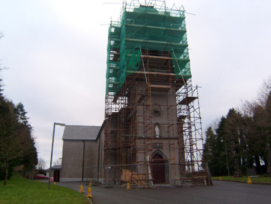 Saint Brendan's Catholic Churchchurch/chapel · 1735 yd
 Megalithic structure in BolisheenMegalithic structure · 1.1 mi
 Site of CastleCastle, unclassified · 1.1 mi
 Site of Castle CreevyCastle, unclassified · 1.4 mi
 Cregg Castle DemesneForest · 2.1 mi
 Kilcoona Round TowerHeritage attraction · 2.8 mi
 Ballinduff BayBay · 2.8 mi
 Cúil DiarmuidWood · 4.0 mi
 Oileán an AoilIsland · 4.6 mi
 Oileán an BhreathnaighIslet · 4.8 mi
Other information
Photo: Credit not shown in the picture search · Rights wording not checked; contact us if this picture should be removed