What is recorded here
Indicated is a stone ringfort on a low ridge in County Limerick, Ireland. Its dry wall encloses a shallow circle where grass still grows and scrub climbs the joints. The fort has no tower, no gatehouse and no master’s name, only a break in the stone where someone once walked in. It is the kind of place that stops being a puzzle when you stop asking it to explain itself.
On low ridge, in gently-undulating pasture. Circular area (31m N-S; 30m E-W) enclosed by dry-stone wall (Wth base 4.7m; int. H 1.2m; ext. H 1.7m). Entrance (Wth 4.6m) to NNW. Interior used for rough grazing; enclosing wall overgrown with scrub and trees.
Compiled by: Denis Power
Date of upload: 26 August 2011
See attached ASI aerial photographs ASIAP – taken on 04/03/2006.
The monument record does not grant public access. Check the route and ask the landowner before entering private land.
- What survives
- Recorded monument
Places near here
 KnocknagowerNamed rock · 310 yd
 Knockannaholla Grave YardBurial ground · 1407 yd
 IndicatedFairy fort / earthen ringfort · 1507 yd
 Curragh Bridgebridge · 1654 yd
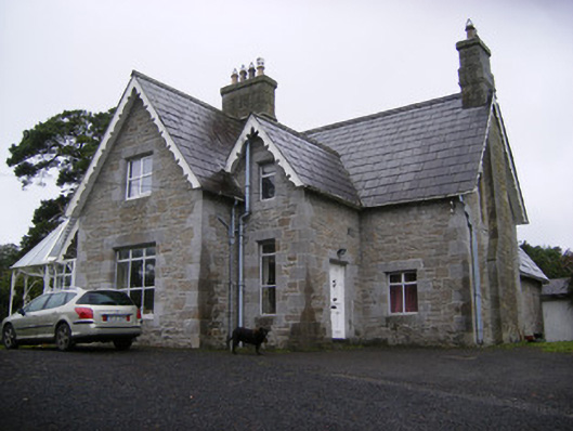 Cregaun Househouse · 1.0 mi
 Little HeavenHeritage attraction · 1.8 mi
 Celtic Park and GardensHeritage attraction · 1.9 mi
 Adare Tourist OfficeVisitor information · 2.2 mi
 European YewEuropean Yew · 2.2 mi
 European BeechEuropean Beech · 2.3 mi
 Desmonds Castle (in ruins)Castle, Anglo-Norman masonry castle · 2.3 mi
 Clonshire CastleCastle · 2.3 mi