What is recorded here
Stone-paved road (L. 1.5km Wth 3m) running roughly E-W across the peatland connecting a house known locally as Derryvane House standing on Derryvane Island in the centre of Tumbeagh bog to dryland to the W. A 17th century house (OF007-065----) stands at the W end of this road which partially survives as a laneway where it runs across the dry-land. Roadway running across bog depicted on 1838 ed. OSi 6-inch map and on Cassini ed. OSi 6-inch map.
Compiled by: Caimin O'Brien based on details provided by Aoife Phelan
Date of upload: 6 October 2021
The monument record does not grant public access. Check the route and ask the landowner before entering private land.
- What survives
- Recorded monument
Places near here
 StructureStructure, peatland · 389 yd
 RoadRoad, class 3 togher · 422 yd
 IndicatedHouse, 17th century · 623 yd
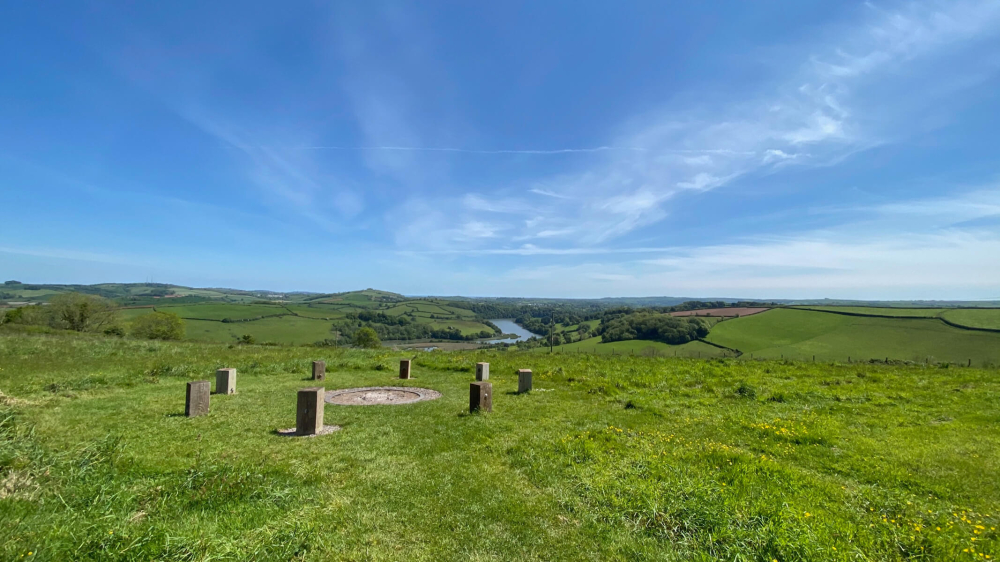 Killaghintober Burial GdBurial ground · 1.0 mi
 Kilnagarnagh Old Ho.Castle, unclassified · 1.1 mi
 Castle ArmstrongHouse, fortified house · 1.4 mi
 European ashEuropean ash · 1.9 mi
 Endrim HillMountain / peak · 3.7 mi
 Saint Reaghan's WellSpring · 3.7 mi
 Ballylin Bog BoardwalkHeritage attraction · 3.8 mi
 Inchaloon IslandIslet · 3.9 mi
 Cocta HillMountain / peak · 4.0 mi