What is recorded here
Indicated is a ruined fairy fort in County Galway where the Gort-Ennis road now cuts through what once stood as a complete circle. The remaining wall barely rises above the grass, yet mortar still clings to a small western outbuilding, proving people lived there before forgetting began. A children’s burial ground lies nearby, suggesting the fort was not merely a boundary but a home where life and death shared the same low ground.
In low-lying grassland. Very poorly preserved circular cashel (diam. 32m) defined by a collapsed
grassed-over wall from SW through W to N. A section of walling (Wth 0.75m) at W with traces of mortar, suggesting it was once plastered, may be the remains of a small outbuilding that is shown on the 1938 edition of the OS 6-inch map. A field wall overlies the enclosing element from W to N. From N to E the Gort-Ennis road cuts through the monument. A children’s burial ground (GA128-087001-) is associated.
Compiled by: Galway Archaeological Survey, UCG
Date of upload: 26 April 2018
The monument record does not grant public access. Check the route and ask the landowner before entering private land.
- What survives
- Recorded monument
Places near here
 Structure in BunnasrahStructure · 202 yd
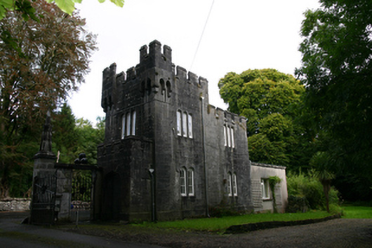 Lough Cutra Castlegate lodge · 452 yd
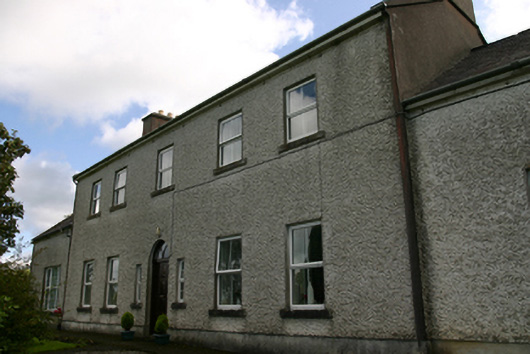 Prospect Housecountry house · 1055 yd
 Holy well in CaherbroderHoly well · 1375 yd
 Keaghery IslandWood · 1.0 mi
 Apple IslandWood · 1.1 mi
 Swan IslandIsland · 1.1 mi
 Castle in ruinsCastle, tower house · 1.2 mi
 Castle IslandIsland · 1.2 mi
 Castle (in ruins)Castle, tower house · 1.7 mi
 Kilmacduagh MonasteryHeritage attraction · 3.1 mi
 Kilmacduagh Monastic SiteVisitor information · 3.1 mi
Other information
Photo: Credit not shown in the picture search · Rights wording not checked; contact us if this picture should be removed