What is recorded here
On an ESE-facing slope in pasture. Not indicated on the 1837 or 1883 editions of the OS 6-inch map. A slightly raised roughly oval area (56.2m NE–SW; 36.8m NW–SE) enclosed by a narrow bank of earth and stone (Wth 1.9m; H 0.8m). A farmyard encroaches upon it at NW and an outhouse has been built into it at NNW. From ENE–E-ESE the bank has been levelled where a NE–SW field boundary clips it. There is no trace of a fosse and the original entrance is not recognisable. The monument is known locally as a ‘fort’.
Compiled by: Patrick F. O'Donovan
Date of upload: 6 February 2012
This remains an important historical record, but the official description says the monument is no longer visible or has been destroyed. The monument record does not grant public access. Check the route and ask the landowner before entering private land.
- What survives
- No visible remains or recorded as destroyed
Places near here
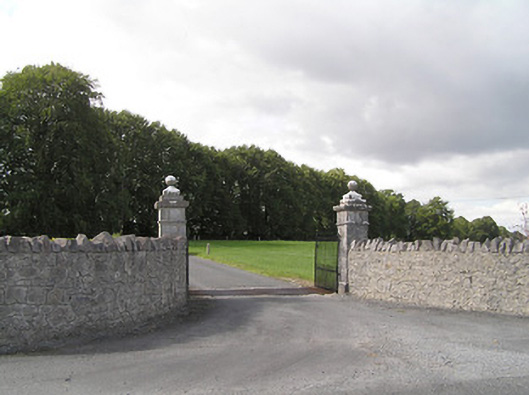 Brianstown Housegates/railings/walls · 416 yd
 IndicatedFairy fort / earthen ringfort · 584 yd
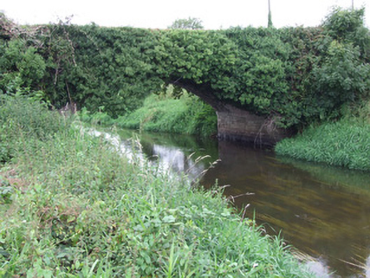 Ballykenny Bridgebridge · 1161 yd
 Enclosure in LismoreEnclosure · 1.3 mi
 Pedunculate OakPedunculate Oak · 2.0 mi
 Common LimeCommon Lime · 2.1 mi
 Bawn in AbbeycartronBawn · 2.3 mi
 First World War MemorialMemorial · 2.6 mi
 Saint Mel's CathedralCathedral · 2.6 mi
 Graveyard in Curry (ardagh By., Coolamber Ed)Graveyard · 3.8 mi
 Bawn in LissardowlanBawn · 6.0 mi
 Commons North WalkVisitor information · 7.3 mi