What is recorded here
On a low hill with commanding views in all directions. Shown on the 1st ed. (1838) of the OS 6-inch map as a circular area (est. diam. c. 25m) ringed by trees and containing a Trigonometrical Station (OD 387 feet). Described in 1972 (SMR file) as a small circular mound of earth and stone, very much defaced and poached by livestock, though recently fenced-off to prevent further damage. A low mound survives (H 2m; base diam. 11m; upper surface diam. 1m).
Compiled by: Gearóid Conroy
Date of upload: 31 August 2012
The monument record does not grant public access. Check the route and ask the landowner before entering private land.
- What survives
- Recorded monument
Places near here
 St Bridgets WellHoly well · 656 yd
 Dawn RedwoodDawn Redwood · 673 yd
 Japanese GardensHeritage attraction · 679 yd
 Tully Ho.Castle, unclassified · 697 yd
 Irish National Stud and Japanese GardensHeritage attraction · 703 yd
 Bee-bee treeBee-bee tree · 808 yd
 Church (in Ruins)Religious house, Knights Hospitallers · 857 yd
 Saint BrigidMonument · 916 yd
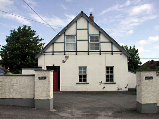 Ulster Lodgeofficer's house · 1545 yd
 CastleCastle, motte · 1.3 mi
 Bithia Mary CrokerMemorial · 7.0 mi
 Horse MuseumMuseum · 830 yd