
What is recorded here
Indicated is a broken fairy fort on a NW-facing Cork slope, its northern bank still standing one metre high while the rest has vanished into tillage. A second ringfort waits a hundred metres east, suggesting two households or a divided claim rather than a single accidental mound. The field fence now follows the ancient curve, forcing people to walk the shape of a lost boundary every time they tend the land.
In tillage, on NW-facing slope. Depicted as hachured circular enclosure (diam. c. 25m) on 1842 and 1904 OS 6-inch maps. Arc (C 18.6m) formed by earthen bank (H 1.1m) with shallow external fosse (D 0.3m) survives to N; incorporated into field fence system. Ringfort (CO051-150----) lies c. 100m to E in adjoining field.
The above description is derived from the published 'Archaeological Inventory of County Cork. Volume 3: Mid Cork' (Dublin: Stationery Office, 1997). In certain instances the entries have been revised and updated in the light of recent research.
Date of upload/revision: 14 January 2009
The monument record does not grant public access. Check the route and ask the landowner before entering private land.
- What survives
- Recorded monument
Places near here
 Graveyard in KilmonaGraveyard · 688 yd
 Fulacht fia in Dromgarriff NorthFulacht fia · 748 yd
 Glamcam BrBridge · 1.1 mi
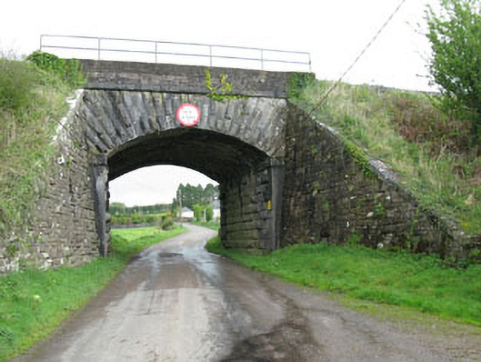 bridgebridge · 1.2 mi
 Megalithic tomb in GlancamMegalithic tomb · 1.3 mi
 Pairc Ath Na hEornaMemorial · 1.3 mi
 Garrycloyne Castle (in Ruins)Castle, tower house · 1.9 mi
 BatsVisitor information · 3.2 mi
 Waterloo Loop WalkWalking route · 3.3 mi
 River Martin Mill & WeirVisitor information · 3.3 mi
 Castle (in Ruins)Castle, tower house · 3.6 mi
 Bottle HillMountain / peak · 3.9 mi
Other information
Photo: Credit not shown in the picture search · Rights wording not checked; contact us if this picture should be removed