What is recorded here
Internal diam. 21m N-S, 19m E-W
Known locally as the 'Cahereen' (An Cháthairín), this defaced caher is located 120m SW of Maulcore Lough and just N of the Inny river. The earth and stone bank survives 1.1m high and measures 3.4m wide. The present entrance, 1m wide, is located at S. The interior of the site is being used as a vegetable plot. A number of stone huts (KE081-024001-) formerly occupied the interior, but these were removed and their stones were used for facing ditches (local information). An opening to a stone-built Man-made underground passage (KE081-024002-) was reputedly uncovered in the NW quadrant, about 6.5m from the bank at W. It gave access to a small chamber, from which a passage ran to the NE.
The above description is derived from A. O'Sullivan and J. Sheehan (compilers), 'The Iveragh peninsula: an archaeological survey of South Kerry'. Cork University Press (1996), no. 626. In certain instances the entries have been revised and updated in the light of recent research.
Date of upload: 29 July 2013
The monument record does not grant public access. Check the route and ask the landowner before entering private land.
- What survives
- Recorded monument
Places near here
 Enclosure in Lios An TsionnaighEnclosure · 397 yd
 Ritual siteRitual site, holy tree/bush · 772 yd
 Cnoc na gCáinte (mullach thiar)Mountain / peak · 2.6 mi
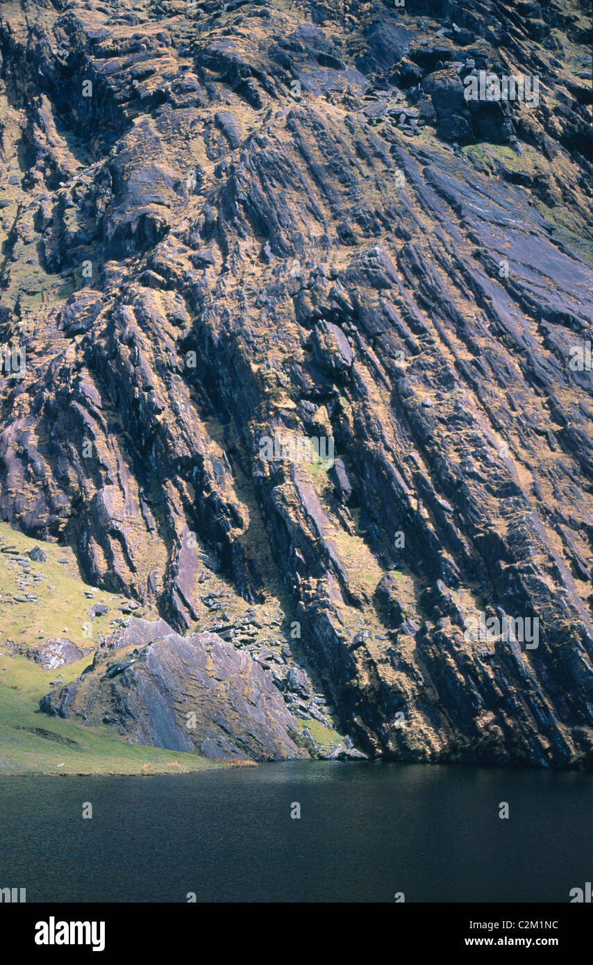 KnockmoyleMountain / peak · 2.7 mi
 RoadRoad, road/trackway · 4.9 mi
 Church in CaherlehillanChurch · 5.2 mi
 Short Castle (Site of)Castle, unclassified · 6.0 mi
 De Gaulle MemorialMonument · 7.5 mi
 Sneem Commemoration PlaqueMemorial · 7.6 mi
 Soft Tree-fernSoft Tree-fern · 7.7 mi
 Chilean wine palmChilean wine palm · 7.8 mi
 Sheep Dog TrainingHeritage attraction · 7.8 mi