What is recorded here
Situated at the N tip of a low SW-NE spur, with a small SE-NW fold and stream c. 30m to the NE and a SW-NE section of the River Boyne c. 110m to the NW. The parish church of Trubley (ME037-001----) is depicted as being in a D-shaped graveyard (dims c. 48m ENE-WSW; c. 37m NNW-SSE) with fairly straight sides at E and S only on the 1909 ed. of the OS 6-inch map, but the graveyard and its perimeter had been removed before 1969 (SMR file). Burials have been encountered within living memory in the vicinity of the church, which is now kept under pasture.
Compiled by: Michael Moore
Date of upload: 10 March, 2014
The monument record does not grant public access. Check the route and ask the landowner before entering private land.
- What survives
- Recorded monument
Places near here
 Font in TrubleyFont · 3 yd
 Trubley CastleCastle, tower house · 204 yd
 mill (water)mill (water) · 1491 yd
 Small-leaved ElmSmall-leaved Elm · 1579 yd
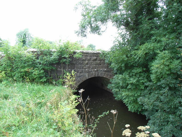 Balbrigh Bridgebridge · 1710 yd
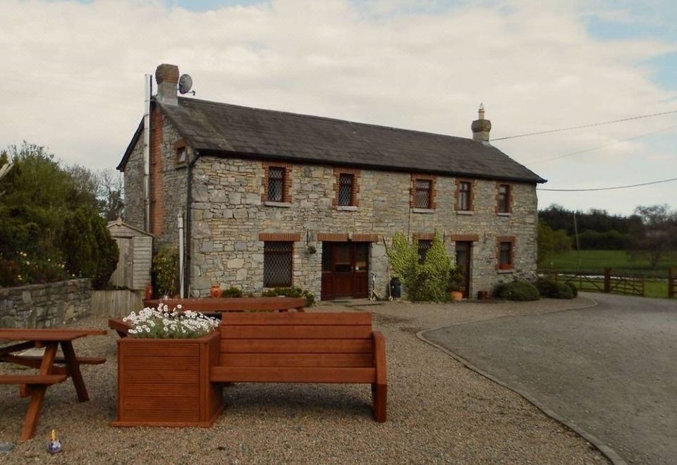 Enclosure in BectiveEnclosure · 1723 yd
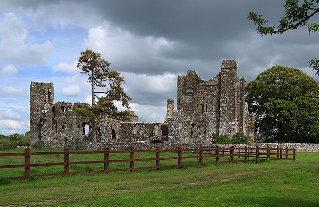 IndicatedCastle, tower house · 1724 yd
 Wych ElmWych Elm · 1.3 mi
 Battle of Tara (Ireland)Major battlefield · 4.5 mi
 Battle of Tara Hillbattle · 4.5 mi
 Saint Patrick'sMemorial · 4.5 mi
 Hill of TaraVisitor information · 4.6 mi