What is recorded here
Situated on wet partially reclaimed grassland at the NE end of a roadway (WM011-049----) known as 'Bohereennamarve' or 'little road of the dead'. This roadway connected Templecross church (WM011-051----) and graveyard (WM011-051001-) 420m to SW to Tristernagh Abbey (WM011-053----) located 160m E of the bridge. The W shore of Lough Iron is 420m to the ENE. Poorly preserved mortared limestone single round-arched bridge traversing a small stream or drain. Poorly drained land with possible fish-pond (WM011-054----) in field immediately to S of bridge. Only a portion of the N and S ends of the bridge survive intact. A bush annotated as 'Doherty's Bush' on the 1837 ed. OS 6-inch map stood beside the bridge but no longer survives.
Compiled by: Frank Coyne and Caimin O'Brien
Date of upload: 18 August 2017
The monument record does not grant public access. Check the route and ask the landowner before entering private land.
- What survives
- Recorded monument
Places near here
 Abbey, Tristernagh Ho.Religious house, Augustinian canons · 184 yd
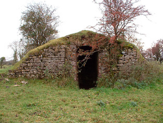 Tristernagh Houseicehouse · 206 yd
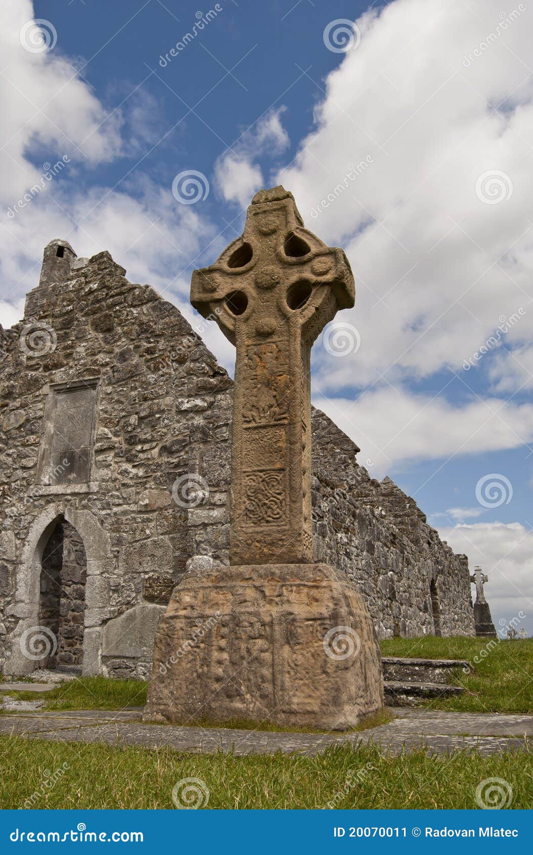 Site of CrossCross · 502 yd
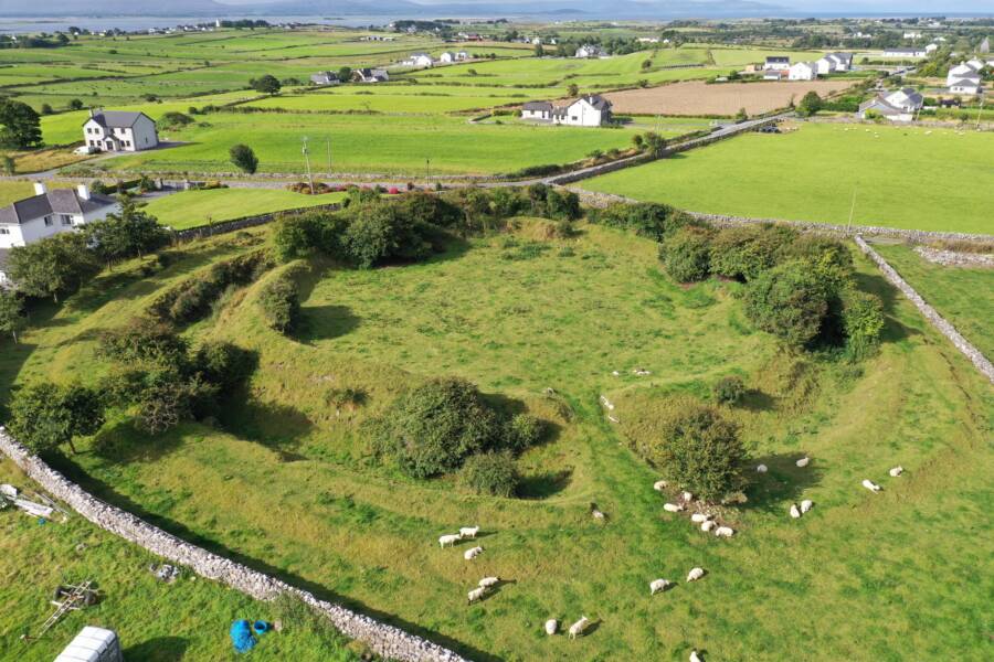 Fairy fort / ringfort in Grange (moygoish By.)Fairy fort / ringfort · 1022 yd
 Baronstown ForestWood · 1.2 mi
 Castle Quarter, Castle (in ruins)Castle, unclassified · 1.3 mi
 Horse-chestnutHorse-chestnut · 1.4 mi
 CastleCastle, motte and bailey · 1.5 mi
 Craft WorkshopHeritage attraction · 9.6 mi
 Guest ServicesVisitor information · 9.6 mi
 Newcastle WoodsForest · 10 mi
 Rock of CurryCliff · 11 mi